W6/CT-265 – 3819

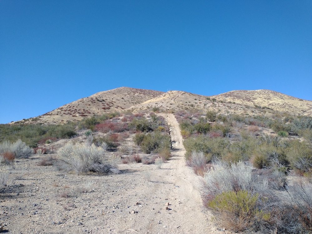
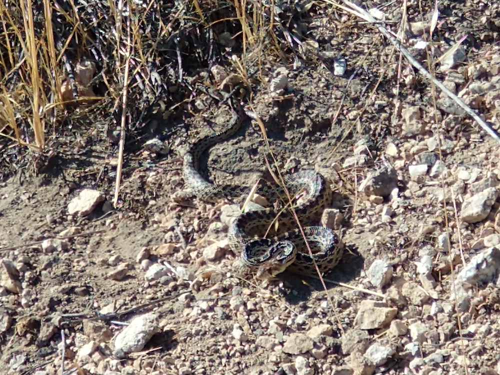
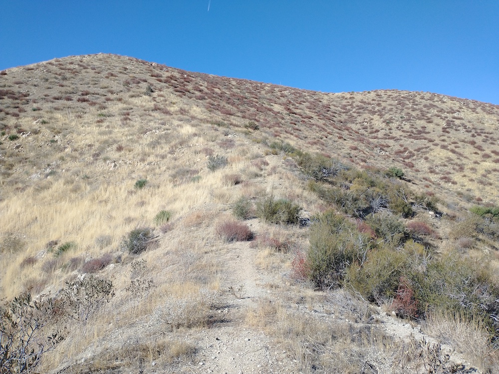
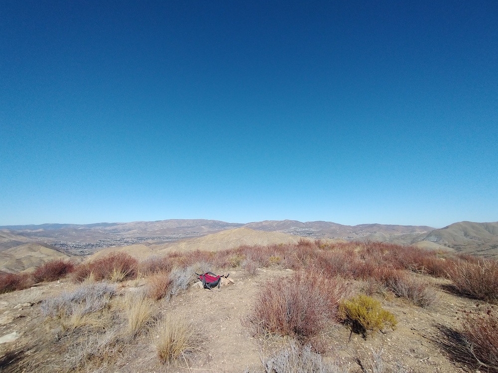
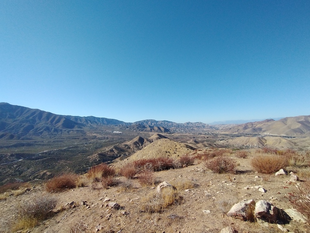
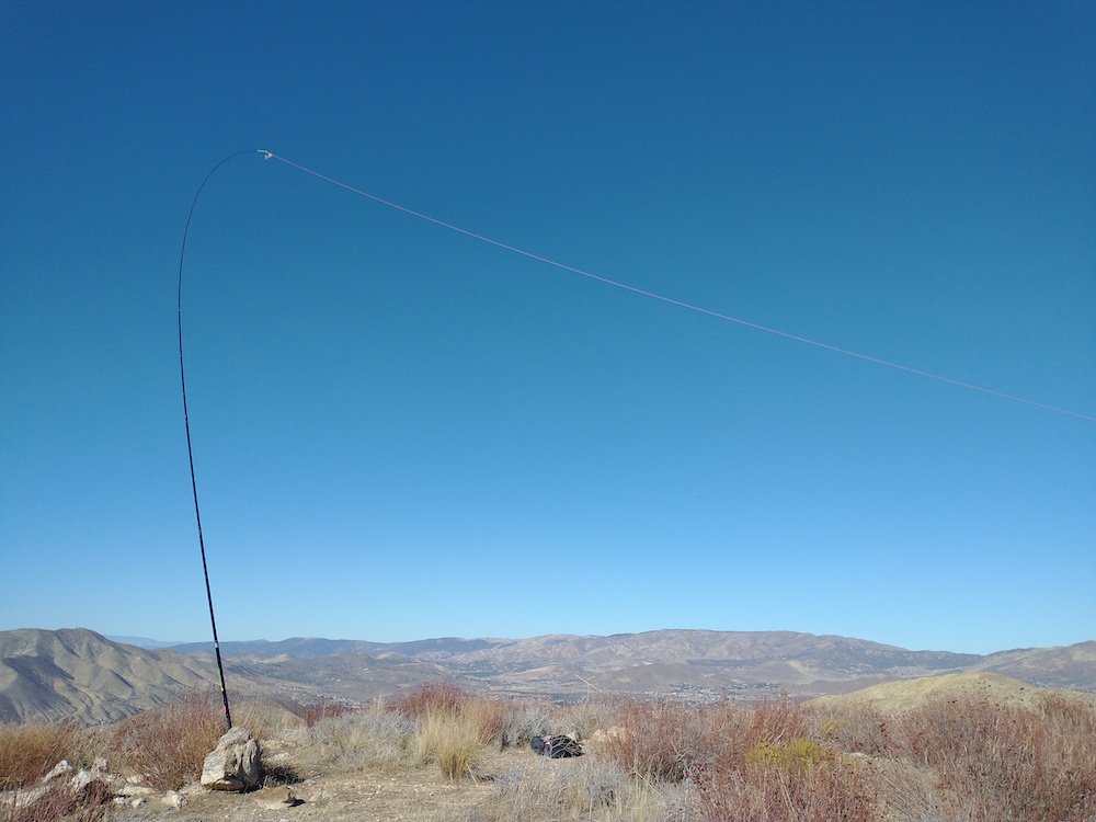
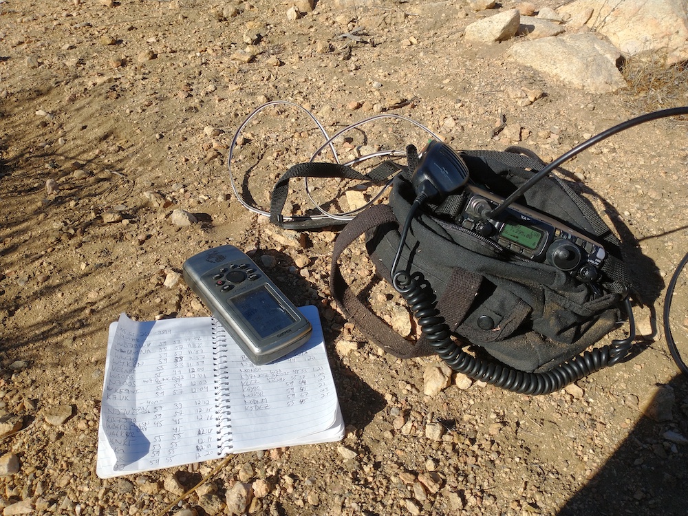
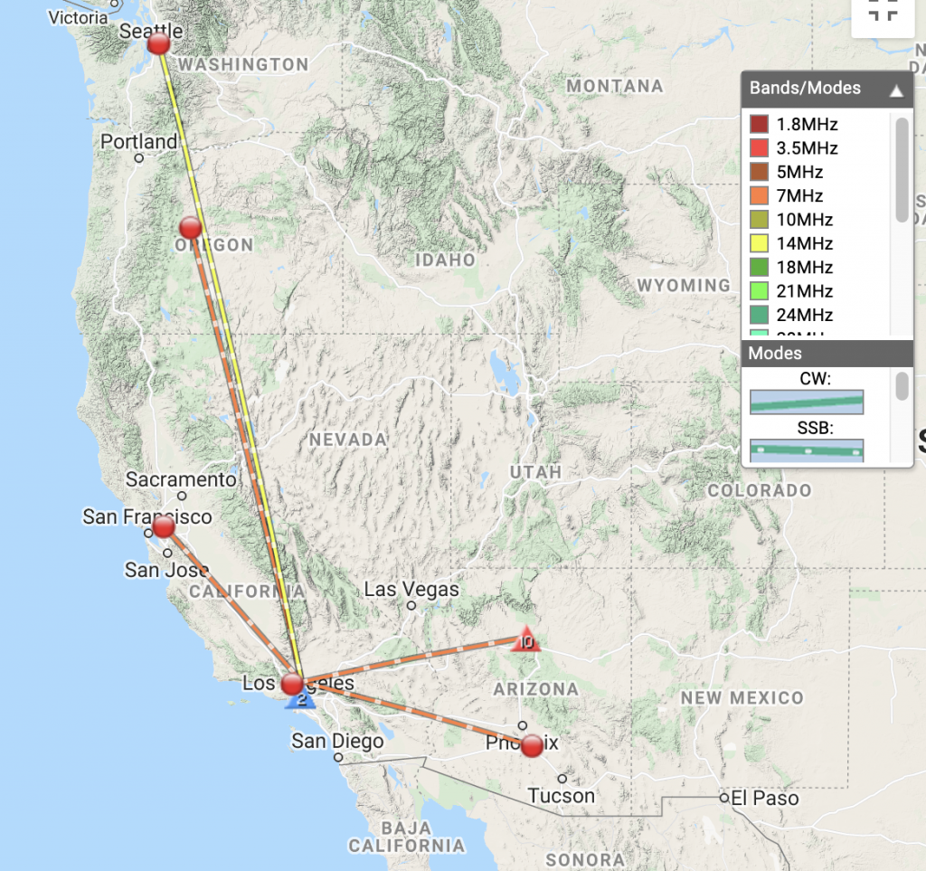
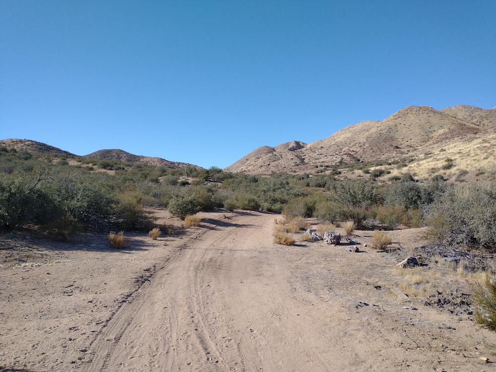
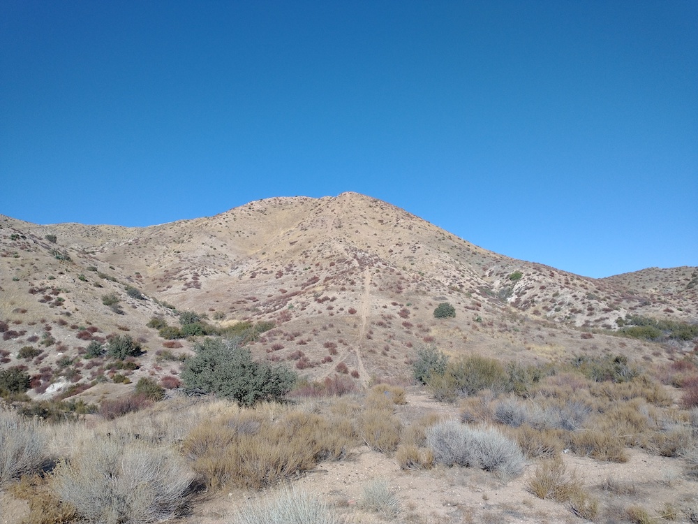
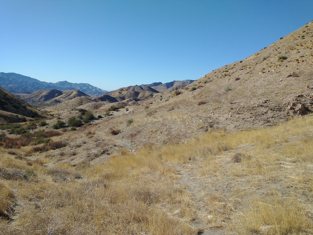
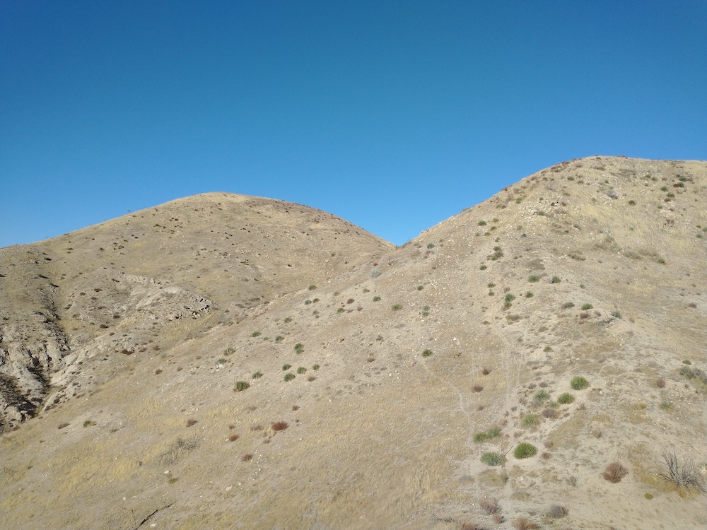
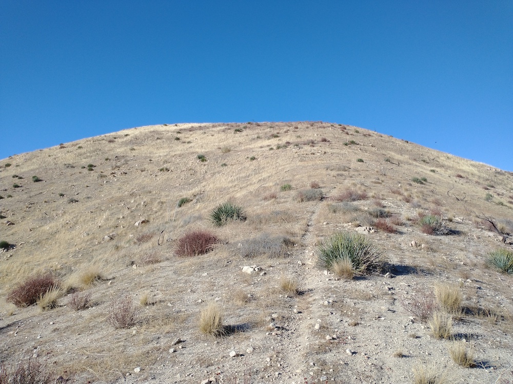
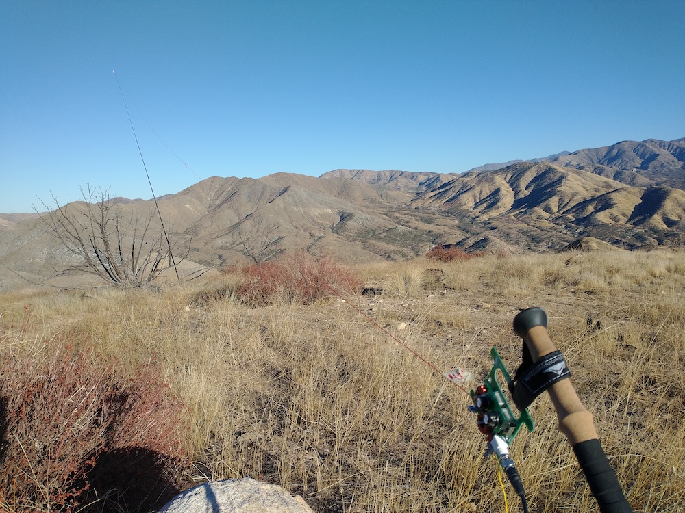
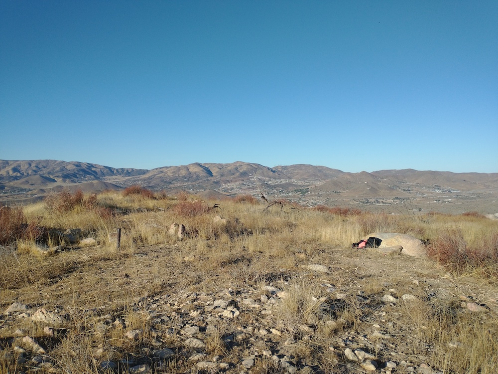
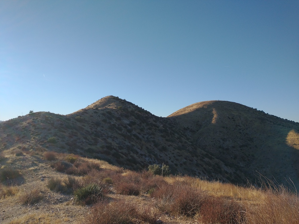
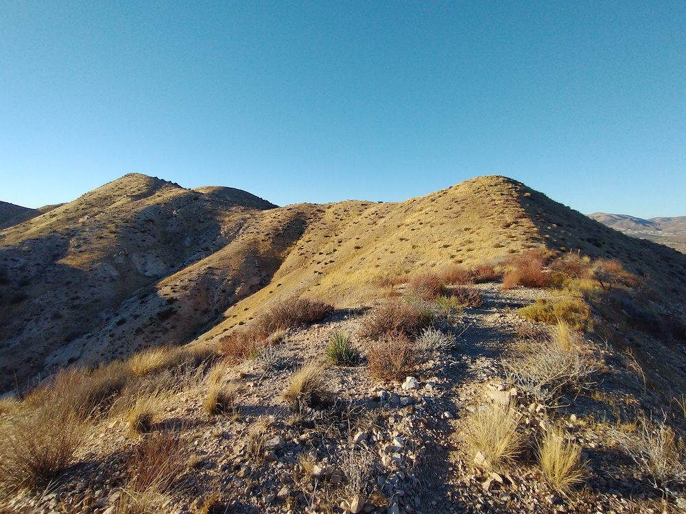
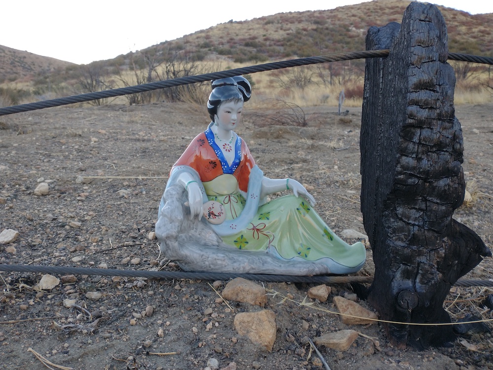
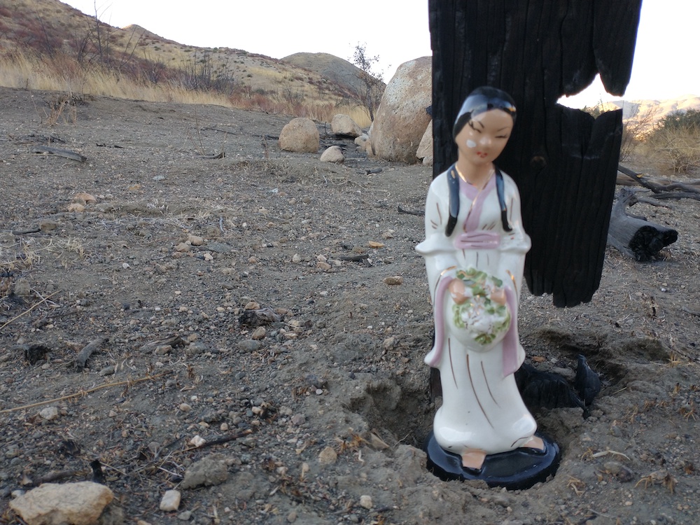
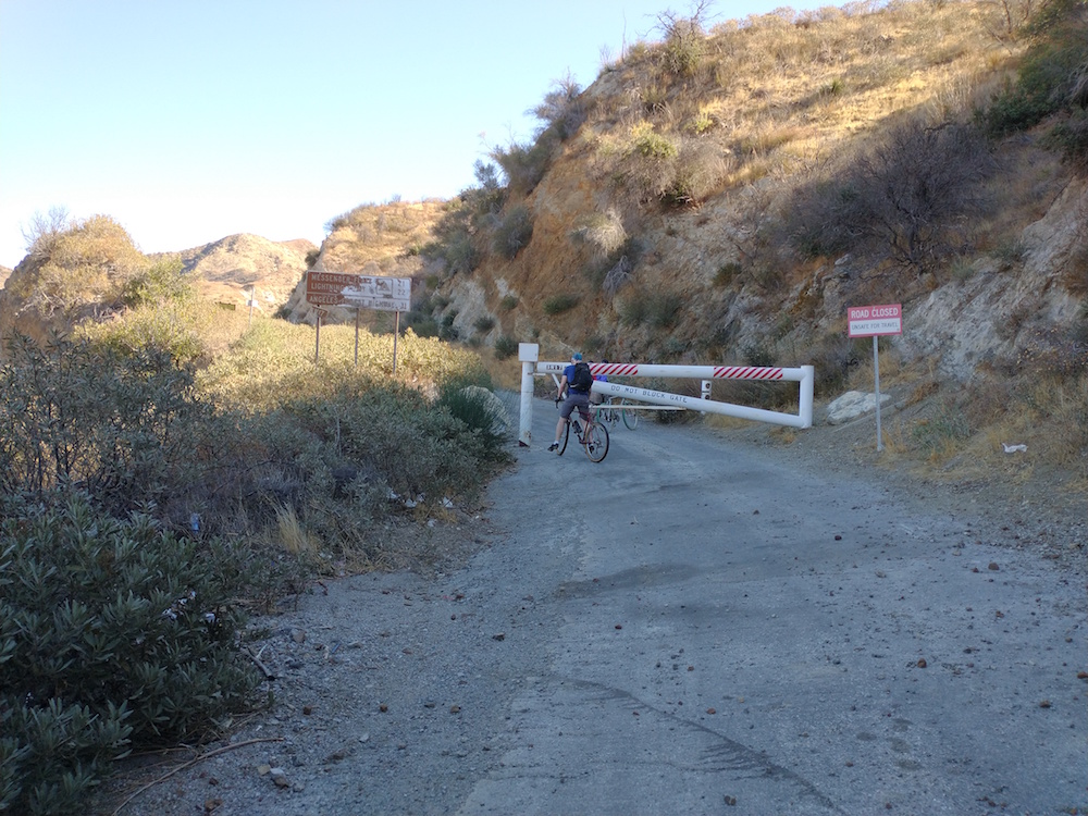
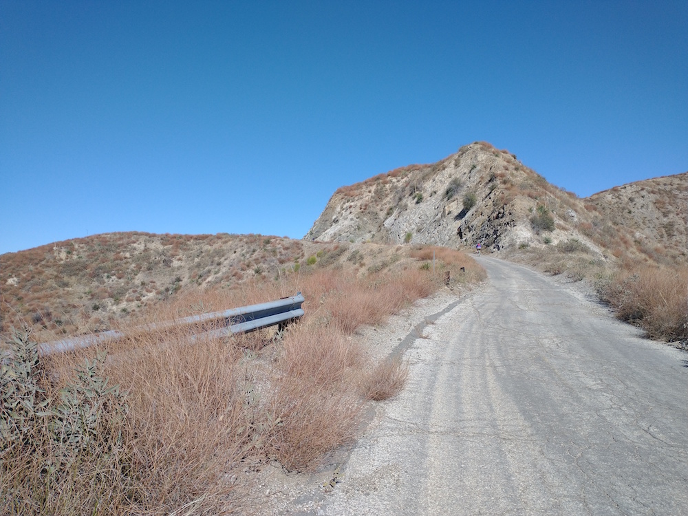
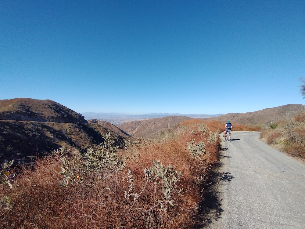
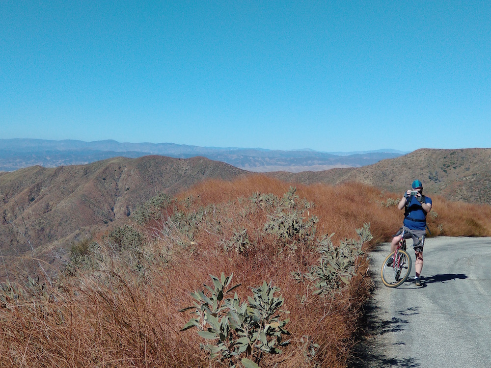
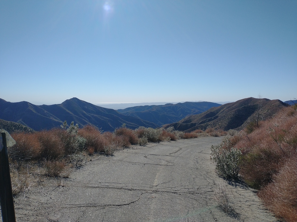
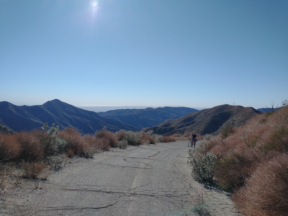
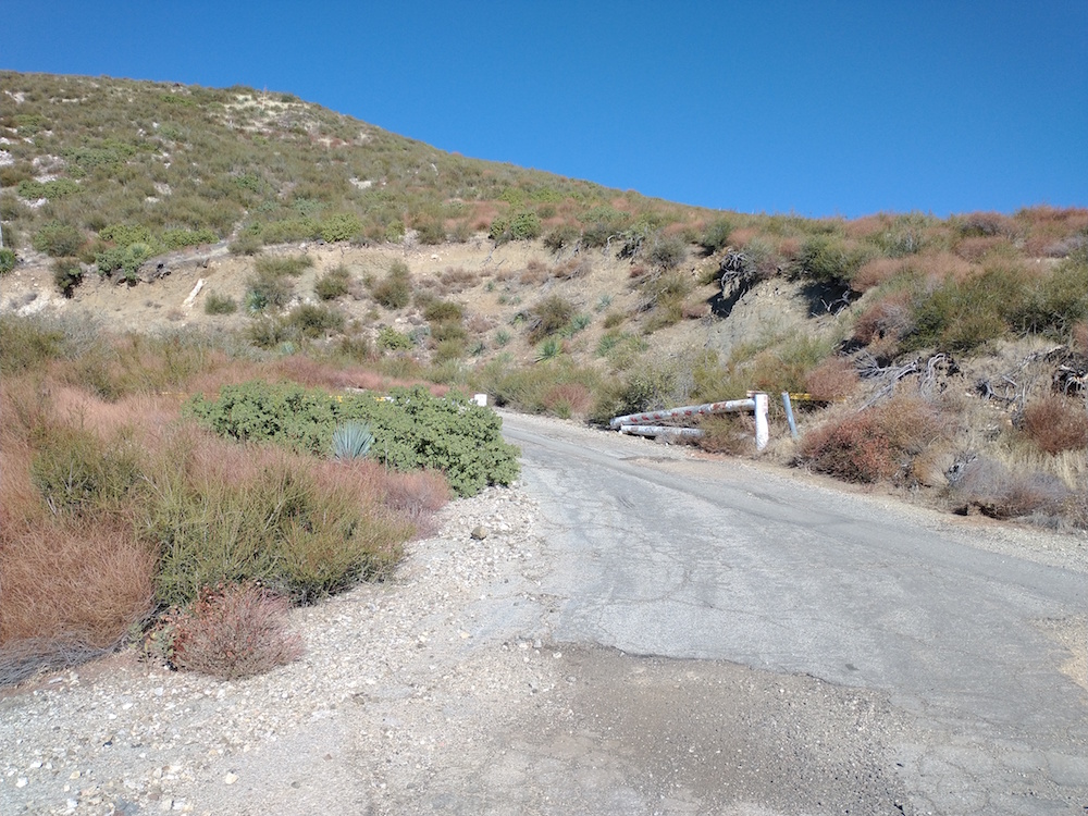
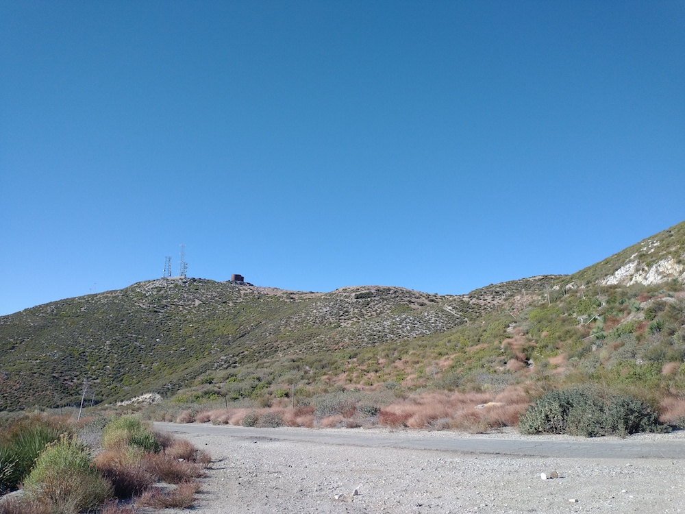
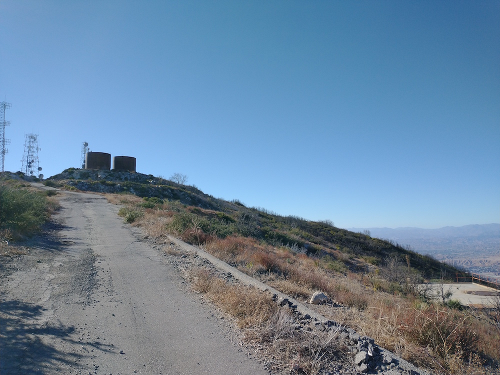
I’ve passed by this summit several times but never made the effort to activate it. The trail up is pretty obvious, just follow it along the ridge line up to the top. It’s pretty steep with loose soil in some sections so be careful. Also, watch out for snakes! Worked 20M, 40M with 5 S2S contacts. Not bad! From here I continued on and activated W6/CT-167, which is nearby.

https://sotl.as/summits/W6/CT-265

Total distance: 1.13 mi
Max elevation: 3845 ft
Total climbing: 739 ft
Total time: 02:09:58
Download file: 265.GPX

Date:18/12/2020 | Summit:W6/CT-265 (3819)
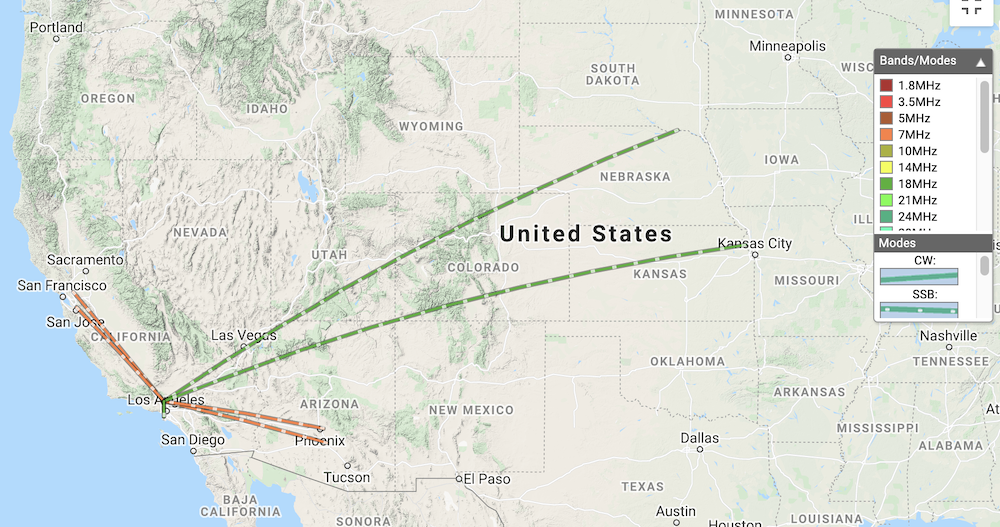
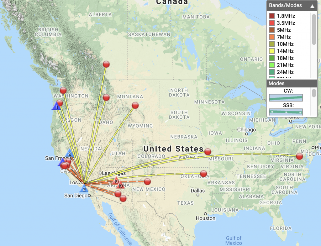
TimeCallsignBandModeNotes
19:56WB7BWZ14MHzSSB59 53
19:56W0MNA14MHzSSB59 57
19:57WW7D14MHzSSB59 53
19:57W4KRN14MHzSSB59 33
19:59VE6AGR14MHzSSB55 33
20:00W5ODS14MHzSSB55 44
20:01N7OOS14MHzSSBS2S W7O/NC-023 55 55
20:03KF7WI14MHzSSB55 54
20:04K7VK14MHzSSB59 57
20:12NJ7V7MHzSSBS2S W7A/CS-026
20:15KB7JJG7MHzSSB59 57
20:16WB6POT7MHzSSBS2S W6/SN-048 45 45
20:18N6NKT7MHzSSB55 55
20:19K6KM7MHzSSB53 55
20:19KR7RK7MHzSSB59 55
20:20N7XJ7MHzSSB59 55
20:20N7PN7MHzSSB55 44
20:21KJ7NOZ7MHzSSBS2S W7A/AE-035 45 55
20:22K6EL7MHzSSBS2S W6/NC-298 55 58
20:23K6YK7MHzSSB59 44
20:23N0RSR7MHzSSB59 45
20:24N6DNM7MHzSSB59 57
20:25K5DEZ7MHzSSB55 45

W6/CT-167 – 3788

This was my second summit of the day, activating W6/CT-265 earlier. Whatever you do, don’t use my GPS tracks to find your way up to this peak. I was 100% off making the ascent, however, I think I was mostly correct going back down to the start on Aliso Canyon Road.

https://sotl.as/summits/W6/CT-167

Total distance: 2.98 mi
Max elevation: 3807 ft
Total climbing: 1307 ft
Total time: 02:42:08
Download file: 167.GPX

Date:18/12/2020 | Summit:W6/CT-167 (3788)

TimeCallsignBandModeNotes
22:37N0RSR7MHzSSB55 55
22:40K7TAB7MHzSSBS2S W7A/CS-028 55 33
22:41NW7E7MHzSSB59 55
22:42N6DNM7MHzSSB59 59
22:43KG6POM7MHzSSB58 59
22:52WW7D14MHzSSB55 57
23:11WD6FOX144MHzFM58 55

W6/CT-255 – Magic Mountain

Kel, Esther, Lars, and myself setoff on bicycles to reach the summit of Magic Mountain, which was used by the Marquardt Corporation as a rocket engine test facility. At the top, there are modern radio towers, and two large tanks which held water to cool the rocket engines under test on the pads below. The ride started near Bear Divide, off Little Tujunga Canyon Road, and follows the Santa Clara Truck Trail. Immediately you’re presented with an 8% ~ 11% grade, which lasts for around 2 miles. After a few hundred feet of slight downhill, you get right back to a steep grade for another 4 miles or so. Around mile 6, the paved road will make a sharp left turn through a gate, which leads up to the summit. We found intense winds and cold air at the top which made our time at the summit short. I worked 17M, and 40M. UHF/ VHF might be tough up here without filters due to the proximity to the big radio towers.

https://sotl.as/summits/W6/CT-255

Total distance: 13.94 mi
Max elevation: 4872 ft
Total climbing: 2857 ft
Total time: 03:54:54
Download file: MagicMountan.GPX

Date:27/11/2020 | Summit:W6/CT-255 (Magic Mountain)

TimeCallsignBandModeNotes
22:25N0RSR7MHzSSB59 59
22:27N6DNM7MHzSSB57 59
22:28KN6CCC7MHzSSB55 59
22:30W7RV7MHzSSB57 59
22:32KG6MZS7MHzSSB36 59
22:35K1OTR7MHzSSB52 58
22:37K6LDQ7MHzSSB36 57
22:38K6EXE7MHzSSB55 55
22:48AE0XI18MHzSSB57 59
22:52W0MNA18MHzSSB44 58
22:53K6LDQ18MHzSSB55 59
22:57KG6MZS18MHzSSB57 59