W6/CT-144 – 4460

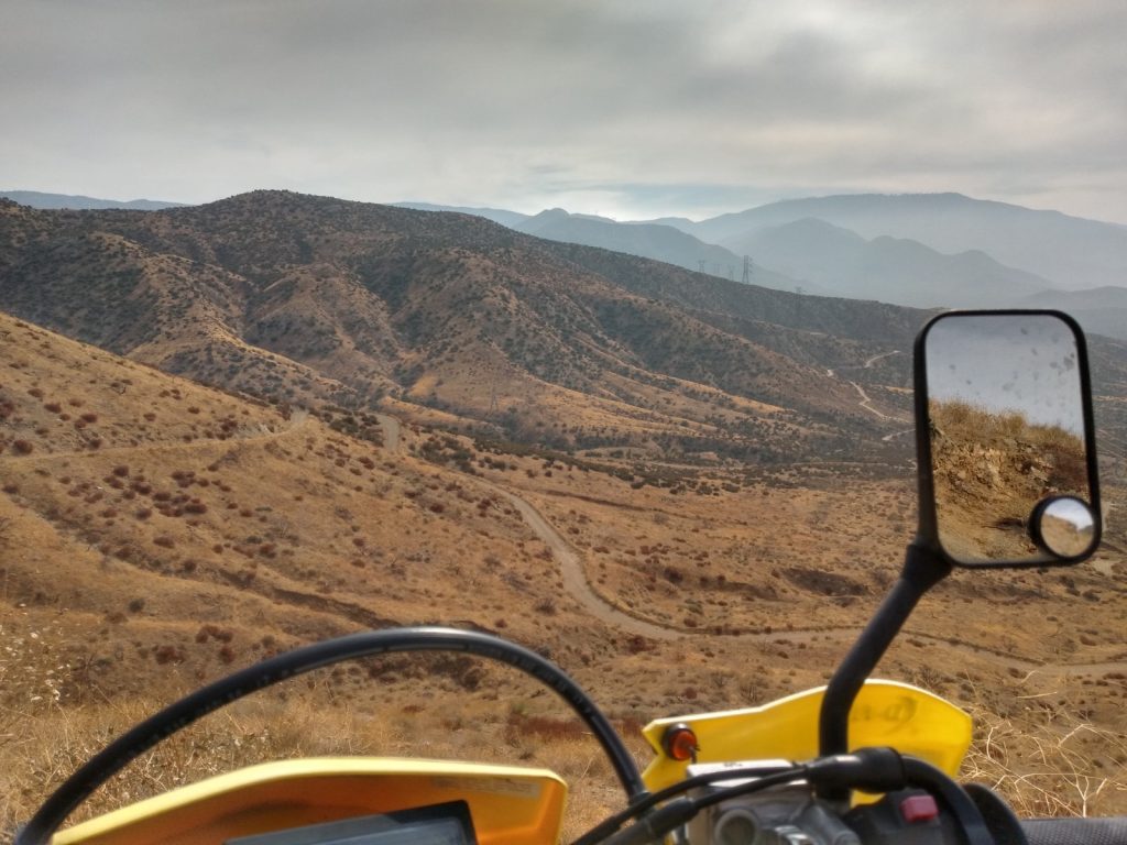
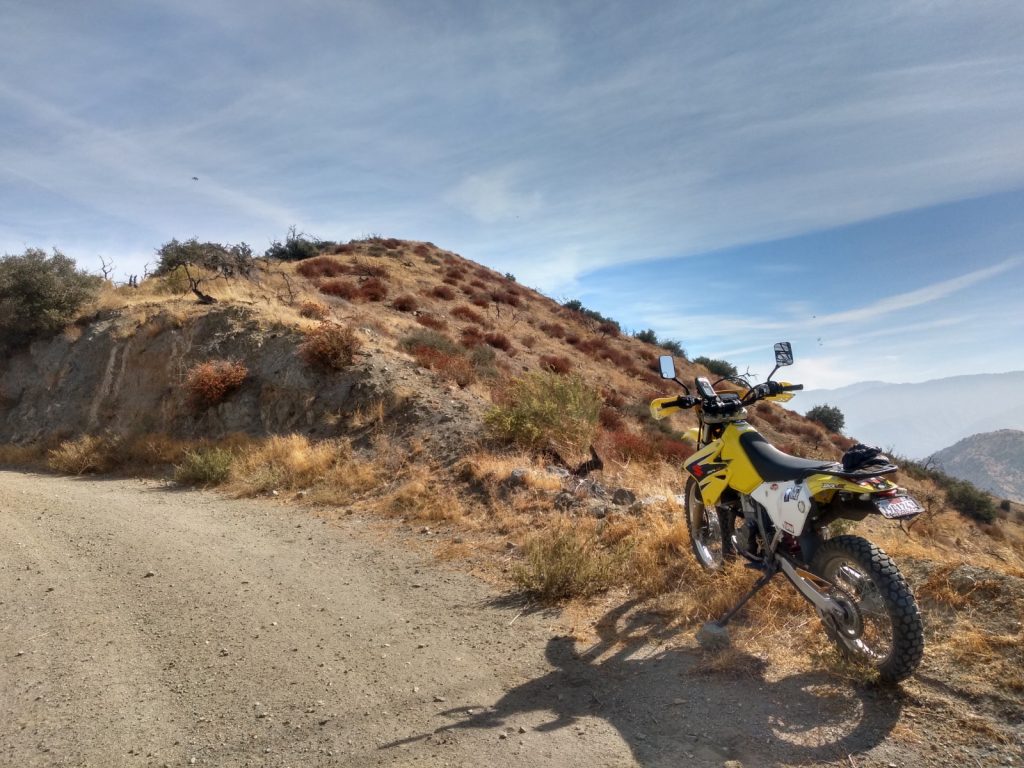
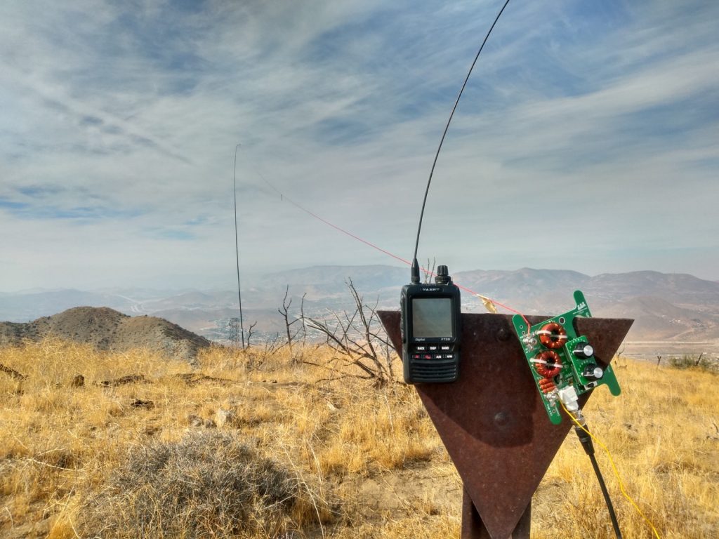
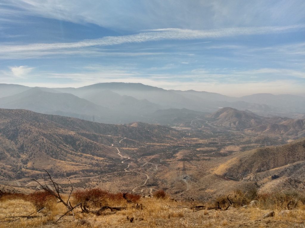
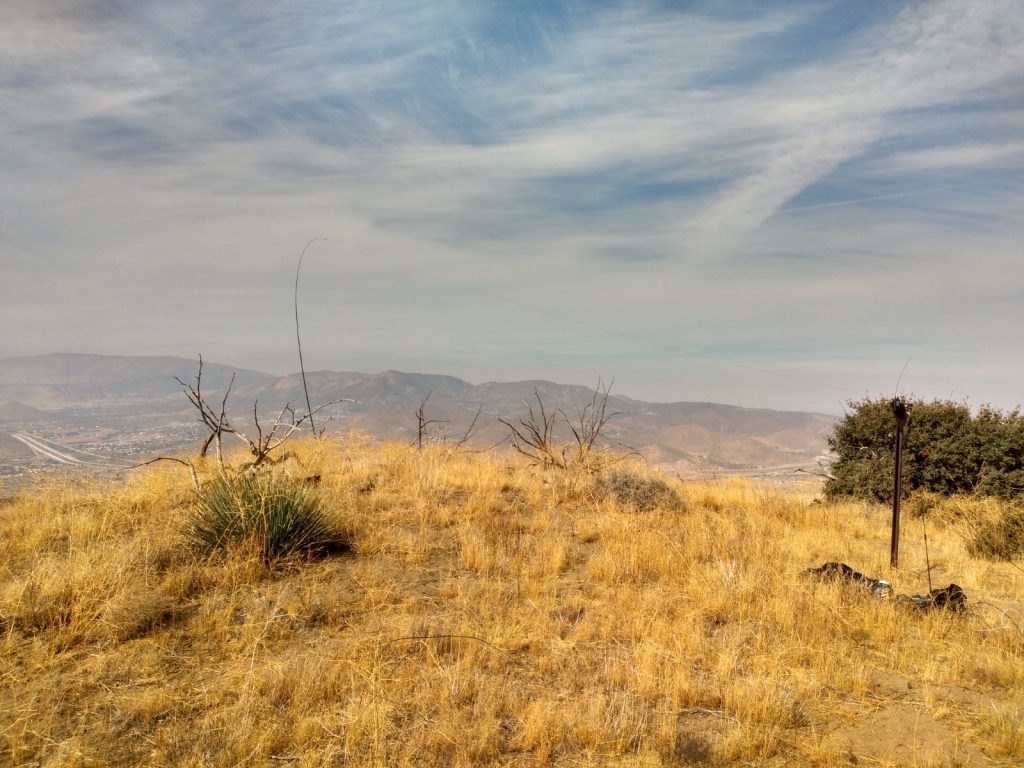
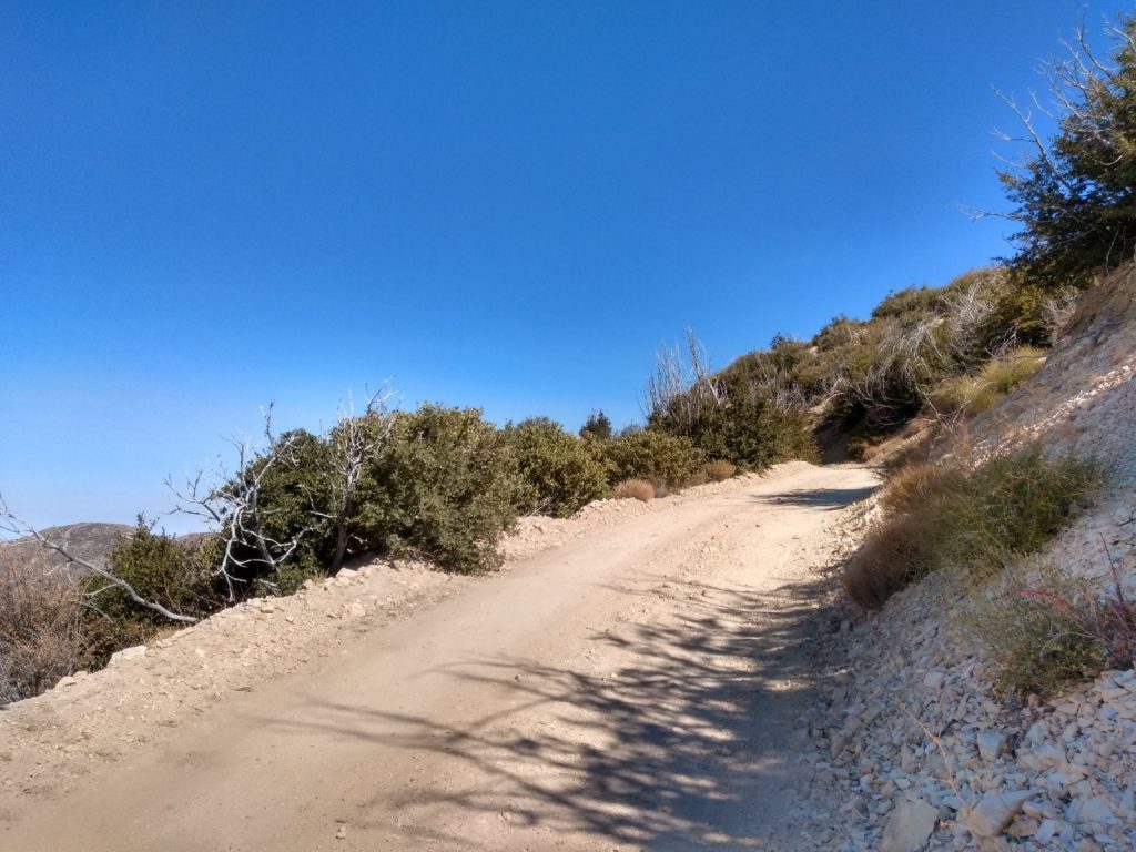
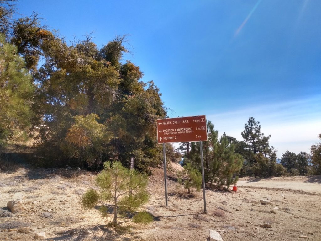
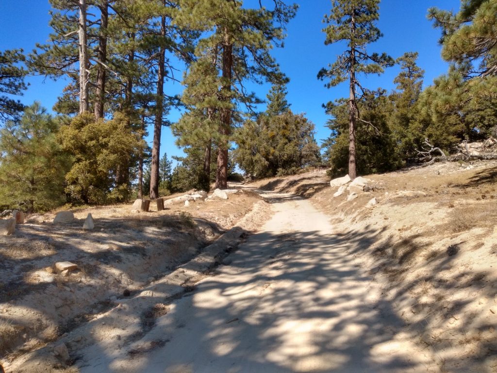
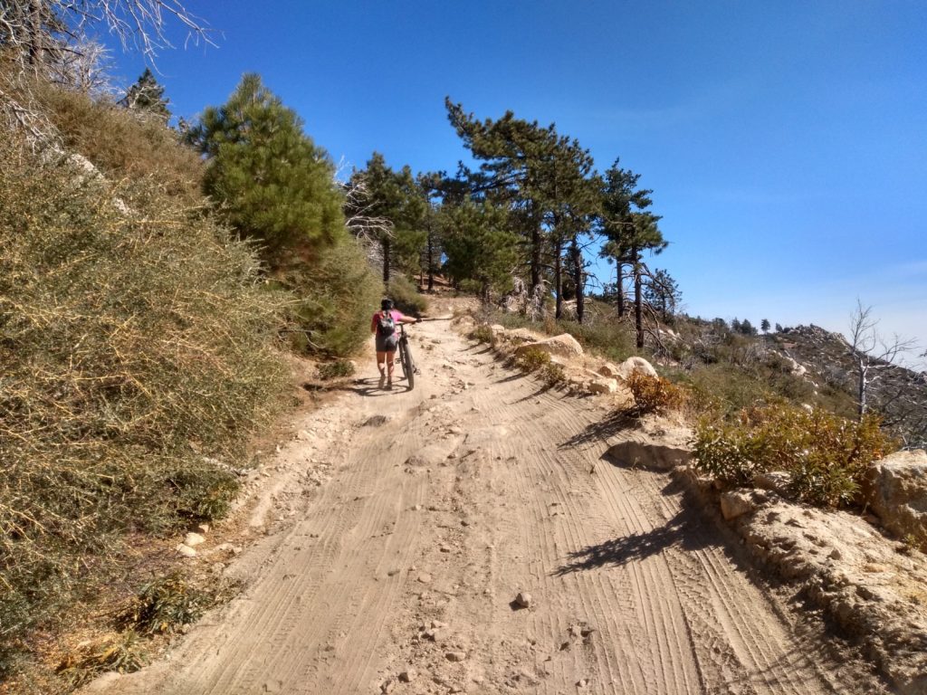
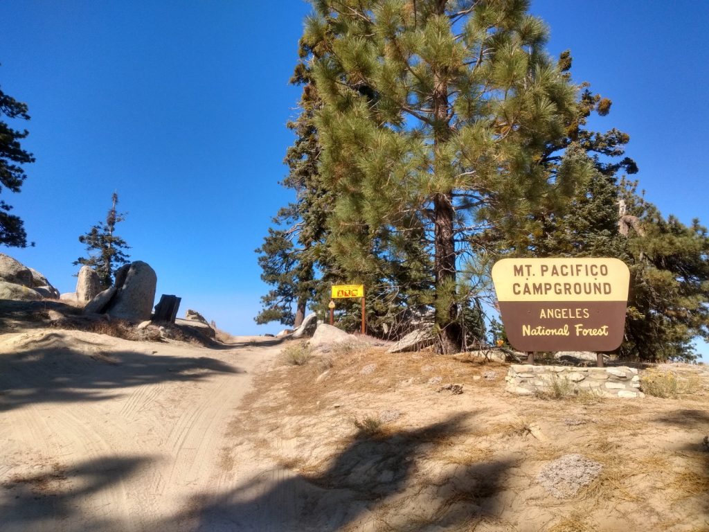
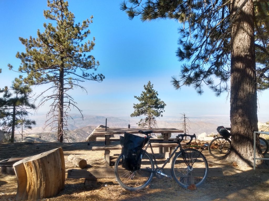
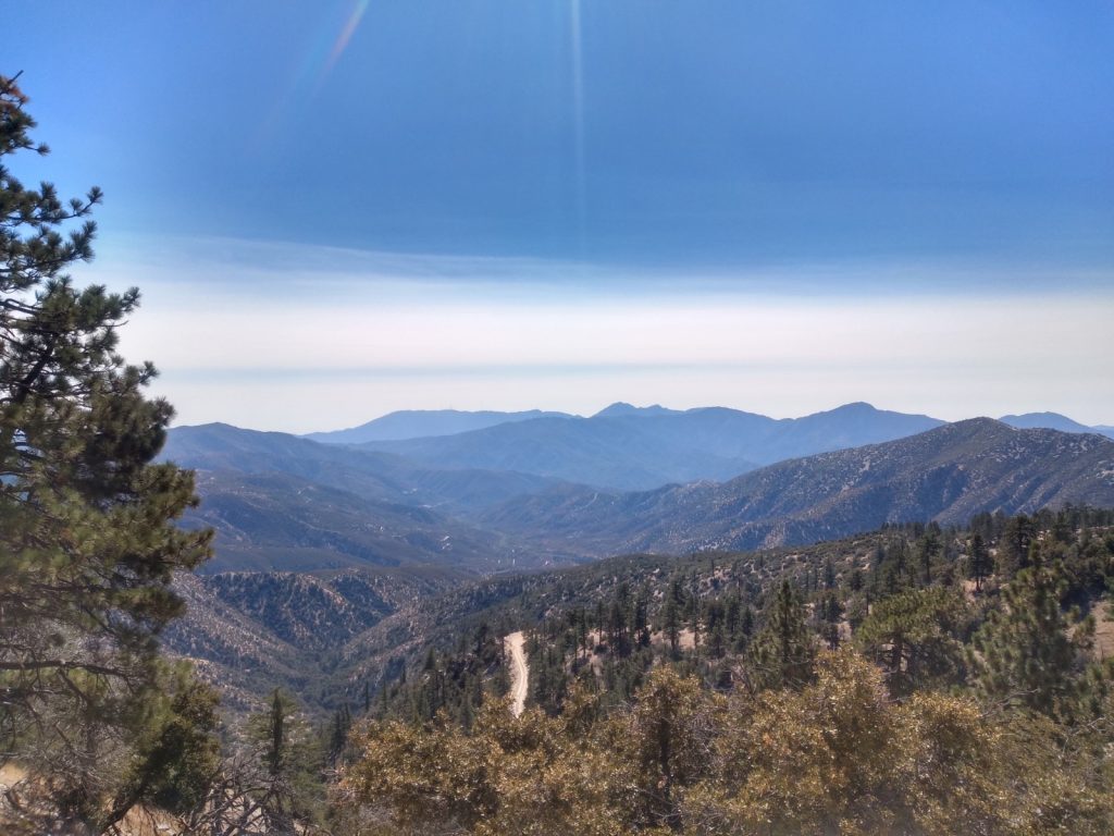
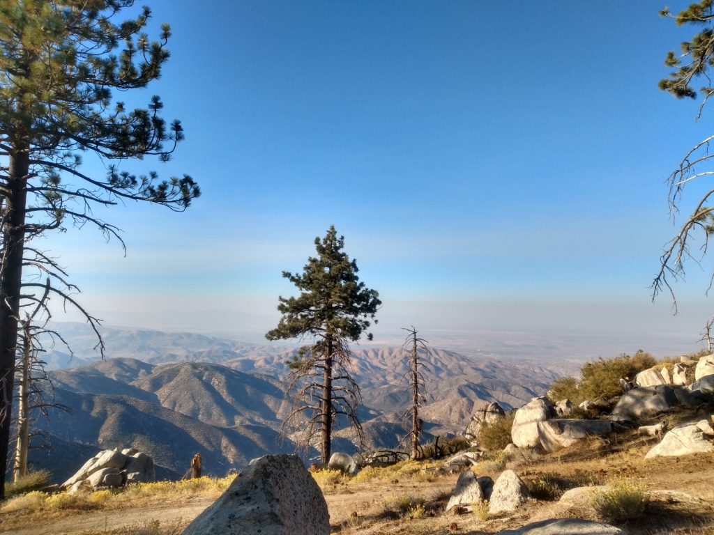
I’ve been looking for more summits which are accessible by dual sport motorcycle, and the western edge of the Angeles National Forest seems to have a few from what I can gather via internet research. I just need to ride around the area and see how accessible they are. This summit is just off BPL Road, which I believe, is private. However, the roads are in the forest, which is open. It shouldn’t be an issue to use the land so off I went. Near the summit, I parked the moto off the side of the road and followed the ridge line up to the top. An inverted triangle post was used to hold a QRP Guys end fed tuner, with 41′ of wire stretched out to a collapsible fishing pole. I worked 20M, 40M, and 2M. One summit to summit contact on FM. There are a few more 2 and 4 point summits in the area, which I hope to activate soon.

https://sotl.as/summits/W6/CT-144

Total distance: 0.56 mi
Max elevation: 4451 ft
Total climbing: 308 ft
Total time: 01:42:13
Download file: W6:CT-144.GPX

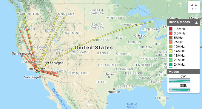
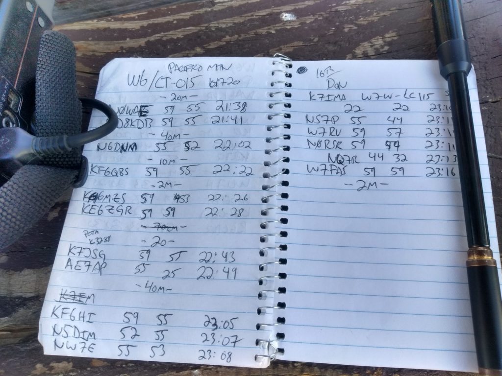
Date:23/10/2020 | Summit:W6/CT-144 (4460)
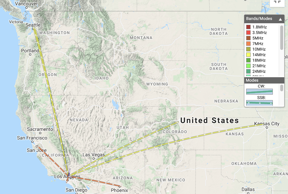
TimeCallsignBandModeNotes
20:20NOWAE14MHzSSB59 55
20:21WW7D14MHzSSB59 57
20:22N0MNA14MHzSSB55 44
20:24W0ERI14MHzSSB55 44
20:25KG6MZS14MHzSSB57 43
20:27WU7H14MHzSSB59 58
20:43N6NKT7MHzSSB59 33
20:44W7RV7MHzSSB20:44
20:46K6LDQ7MHzSSB55 33
20:53KA6VVD144MHzFM
21:06KN6CQX144MHzFMS2S W6/CT-004
Twisty dirt roads
I parked here and hiked the rest of the way to the top.
Yaesu FT2D + QRP Guys end fed tuner + 41′ of wire
Looking off from the summit
Activation Zone

W6/CT-015 – Mt. Pacifico

I’ve read that the road to Mt. Pacifico was closed to traffic, which made me want to cycle up to the top and enjoy the views with little interaction with others. This wasn’t the case. At the time of writing this, the road is open, all the way to the top, and the campground was occupied. Most traffic and the campers seemed to be hunting something, maybe birds? It’s not a very nice hike up the fire road, so if I’d known the road was open I probably would have ridden my DRZ dual sport motorcycle to the summit. (You can also hike the PCT to the summit, which I might do next time!) I made the trip with T. and E., my cycling pals. Of course, we got to the trailhead at the hottest time of the day. The fire road up doesn’t supply any shade, which made the ascent much harder in the blaring sun. After about 5 miles of climbing, you will see a sign directing you to the summit. This road offers some well needed shade, but not much. At the top, my standard HF station was setup at a picnic table. APRS packets were getting to an iGate for self spotting. In all, we spent two hours on the summit with contacts made on 10M, 20M, 40M and 2M. The thrilling ride down took a fraction of the time it took to get up. The downhill made cycling all the way up worth it!

https://sotl.as/summits/W6/CT-015

Total distance: 12.35 mi
Max elevation: 7125 ft
Total climbing: 2499 ft
Total time: 06:04:08
Download file: Pacifico.GPX

Date:17/10/2020 | Summit:W6/CT-015 (Pacifico Mountain)

TimeCallsignBandModeNotes
21:38N0WAE14MHzSSB59 55
21:41WD8KDB14MHzSSB59 55
22:02N6DNM7MHzSSB55 52
22:22KF6QBS28MHzSSB59 55
22:26KM6MZS144MHzFM
22:28KE6ZGR144MHzFM
22:43K7JSG14MHzSSB59 55 POTA K3288
22:49AE7AP14MHzSSB55 25
23:05KF6HI7MHzSSB59 55
23:07N5DIM7MHzSSB52 55
23:08NW7E7MHzSSB55 53
23:10K7IMA7MHzSSB22 22 S2S W7W-LC115
23:11NS7P7MHzSSB55 44
23:11W7RV7MHzSSB59 57
23:11N0RSR7MHzSSB59 44
23:13NQ7R7MHzSSB44 32
23:16W7FAS7MHzSSB23:16
23:38KW6ACK144MHzFM
23:40K6KWI144MHzFM
23:41KI6RF144MHzFM
23:43KM6CEM144MHzFM
3N17, the road up to Pacifico. I thought this was closed to motor traffic, but there were several vehicles.
No shade
After about 5 miles, you see this sign directing you to the summit.
The trail gets a bit of shade.
But it’s rocky and steeper than the previous road.
Almost there!
Bikes at the top
Views
More views
Logbook