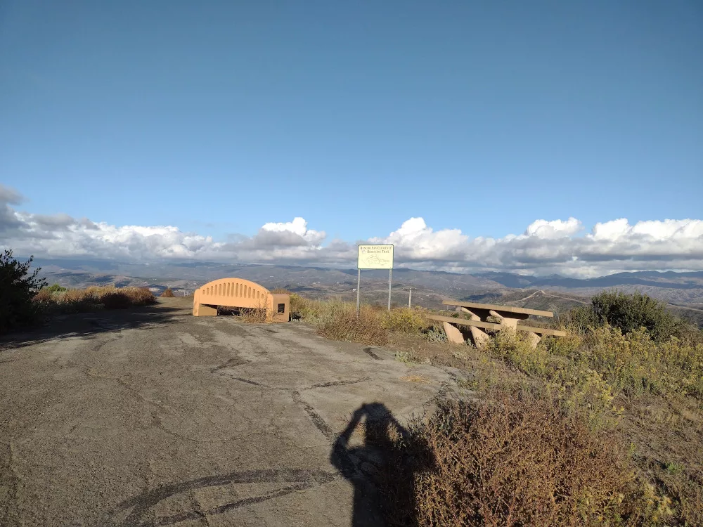
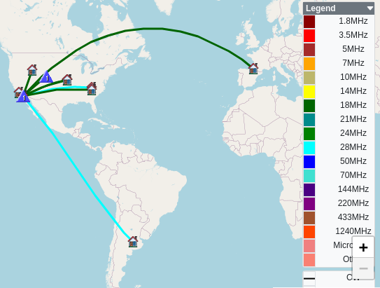
This summit is right off I5 by the San Clemente Denny’s, the one with the neon sign. Access is easy – park in the cul-de-sac at the end of Del Dios and walk up the obvious path, then turn right. If you pass an old AT&T long lines tower you went the wrong way. Most of this is paved. The true summit is just off the paved path. At the top I setup my Yaesu 817 and worked high bands. Japan was booming in with good signal reports both ways. I didn’t realize it at the time, but I crossed the UTC time threshold, so this ended up being two activations on separate days. As the sun set, I packed up and headed back to the car.
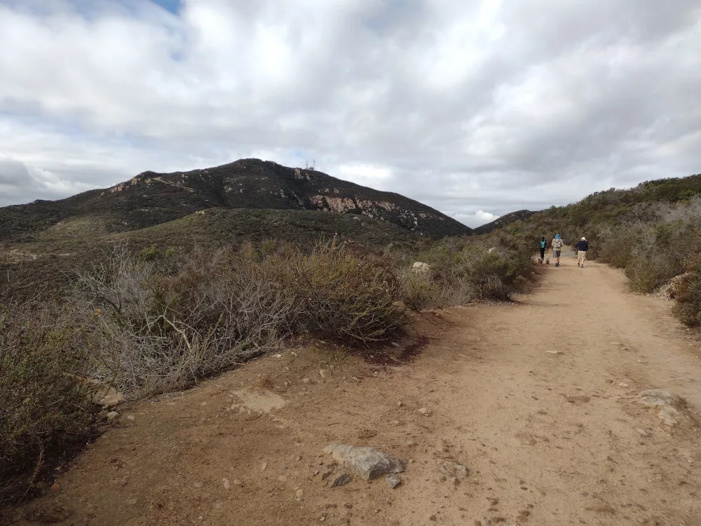
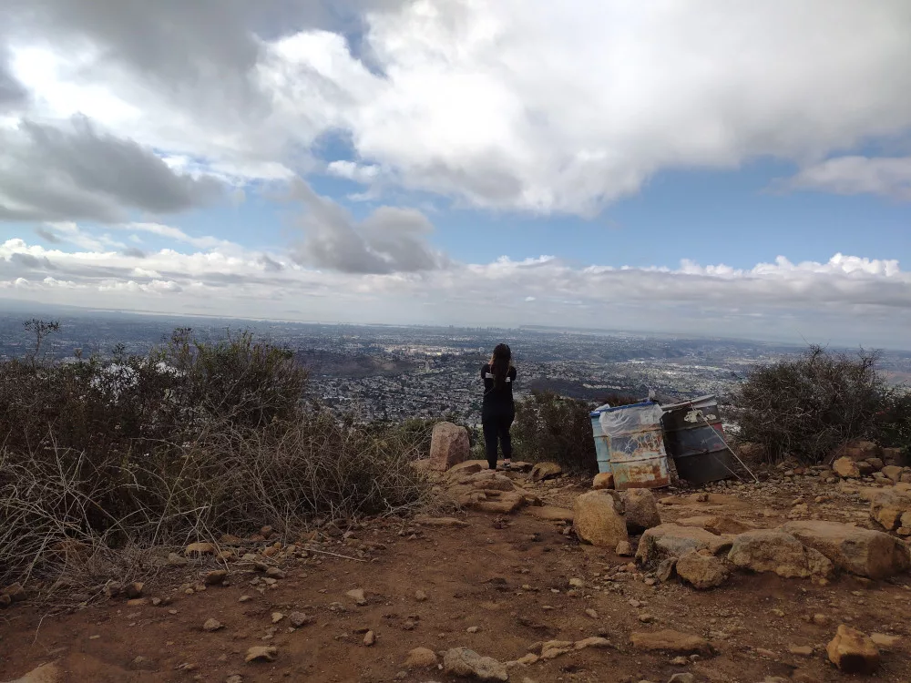
Kel and I woke up at our hotel in Point Loma, grabbed some breakfast and headed to Cowles Mountain. It was obvious at the trailhead that this is a popular place to hike. We had to pace ourselves, otherwise the potential for getting stuck directly behind a slower group hiking several abreast unaware of their surroundings was real. At the top were several groups relaxing and chatting. Because of all the people, I used high band (shorter) antennas to keep myself out of the way. After working two bands, I packed up and headed to the next summit. I’m not sure I’ll do this one again.
Kel and I made a completely random trip down to San Diego to eat seafood, drink beers, and visit some summits. Before checking into our room in Point Loma, we headed east on Mission Valley Freeway, exiting on Fuerte Drive. From there, the GPS guided us to the top. We parked on the side of the road and walked around the amphitheater before finding the very top. I brought my Yaesu 817 to work high bands with a short antenna. I don’t think there would be a good spot for a full length EFHW without getting in the way, but maybe I didn’t explore the area enough. A security guard was curious what I was doing and after explaining, concluded I wasn’t a threat haha. After 30 minutes or so, I packed everything down and we headed back to the coast.
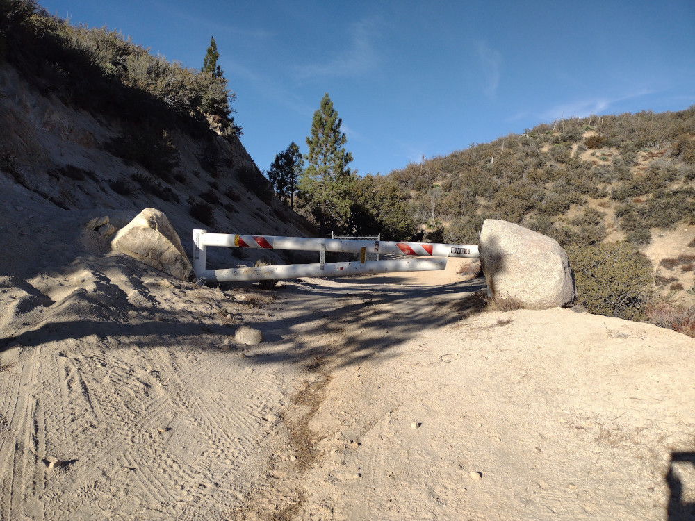
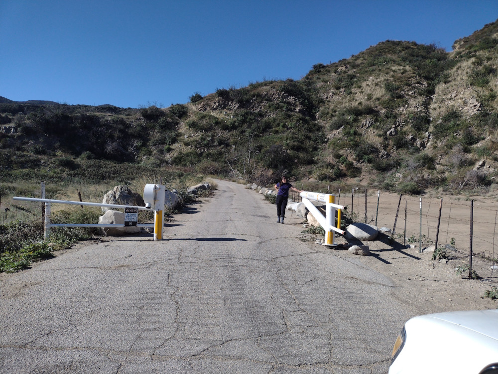
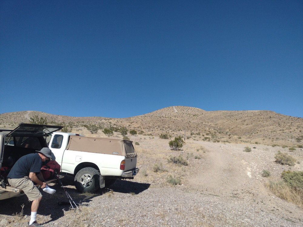
Kel and I started this trip from Mill Creek Summit at the intersection of Pacifico Mountain Road (3N17) and Angels Forest Highway. From there we took a Subaru all the way down Pacifico Mountain Road, past Alder saddle to Little Rock Canyon Road and stopped at a locked gate. I was surprised to see several hunting groups here meeting up to head out of the forest after a long night. It’s deer season, but the hunters I spoke to said they didn’t see any deer this year.
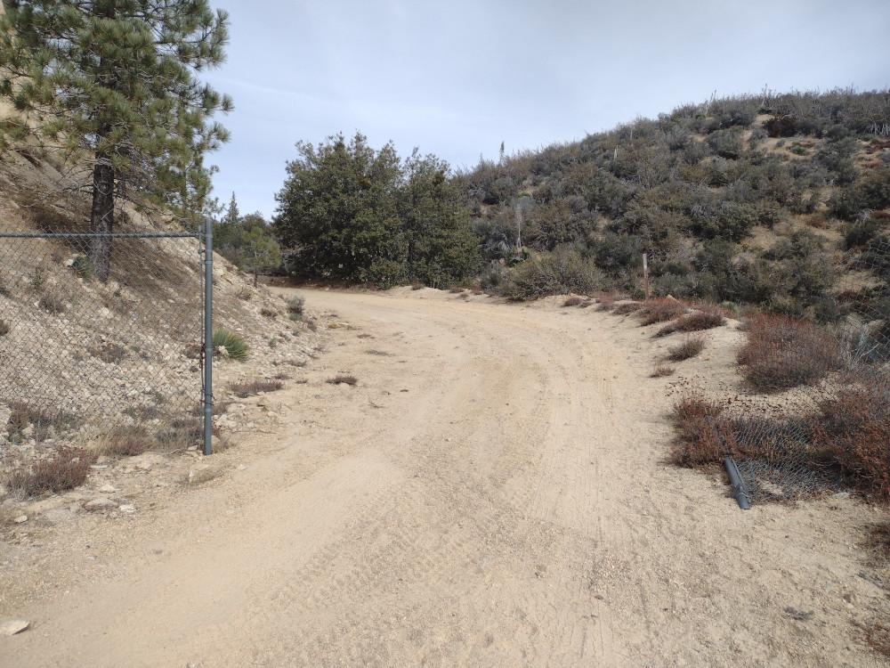
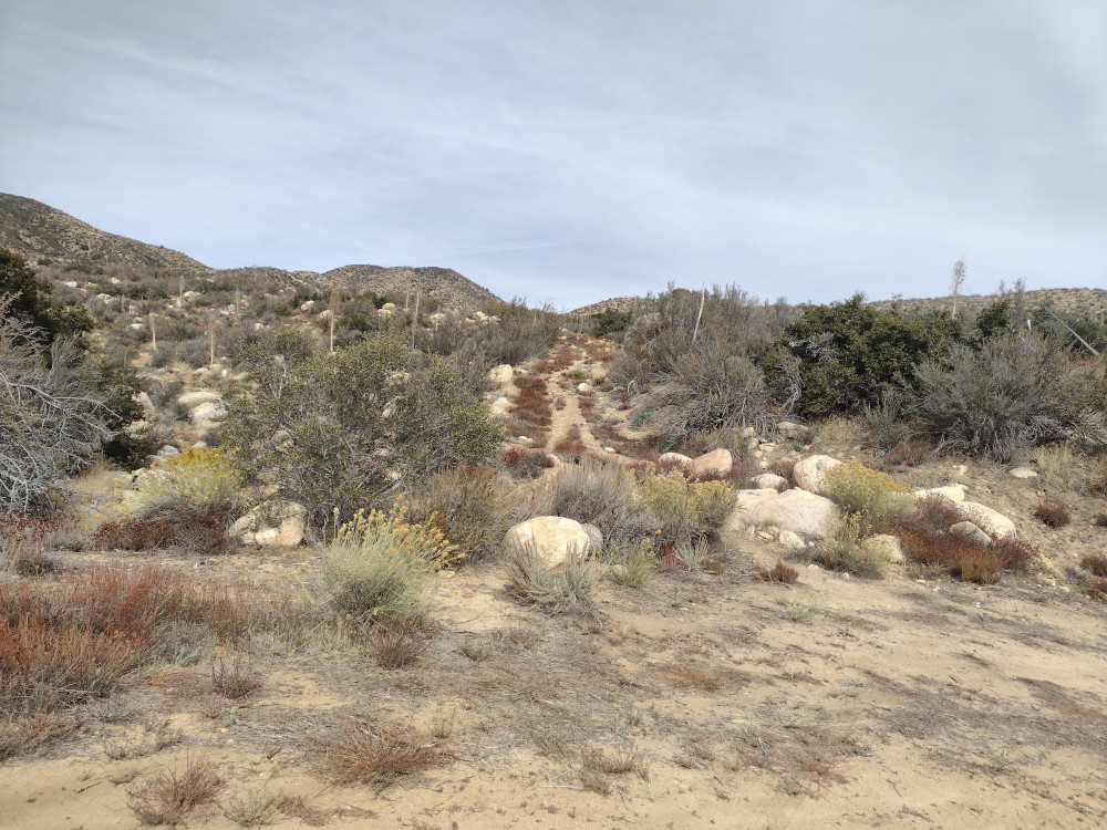
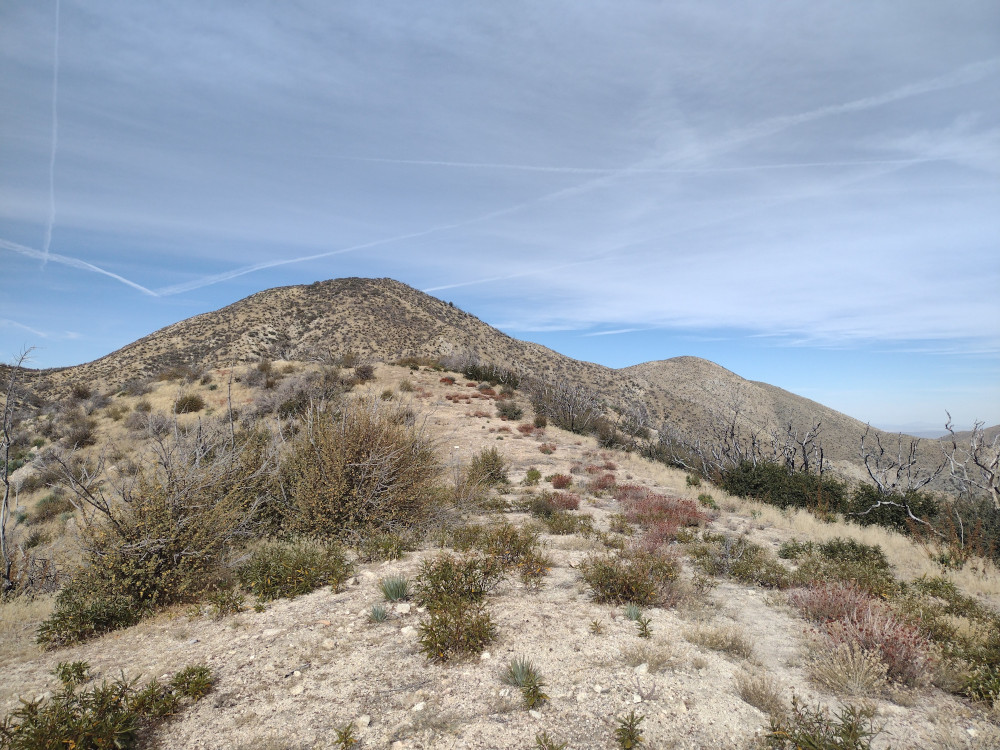
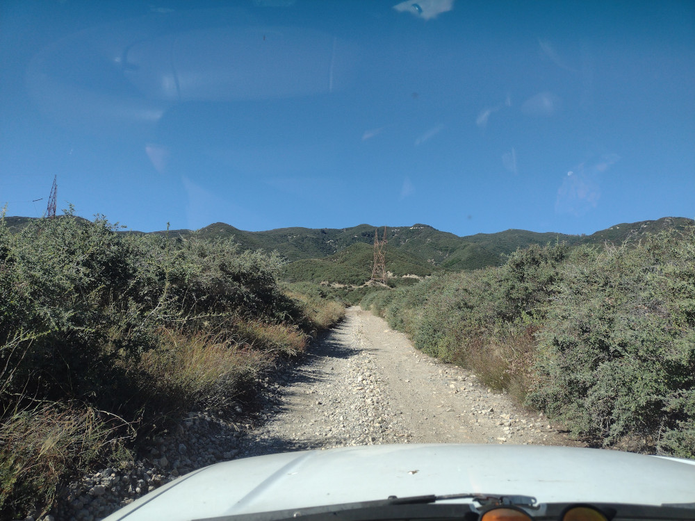
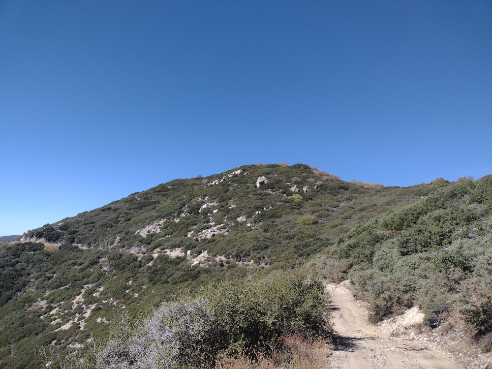
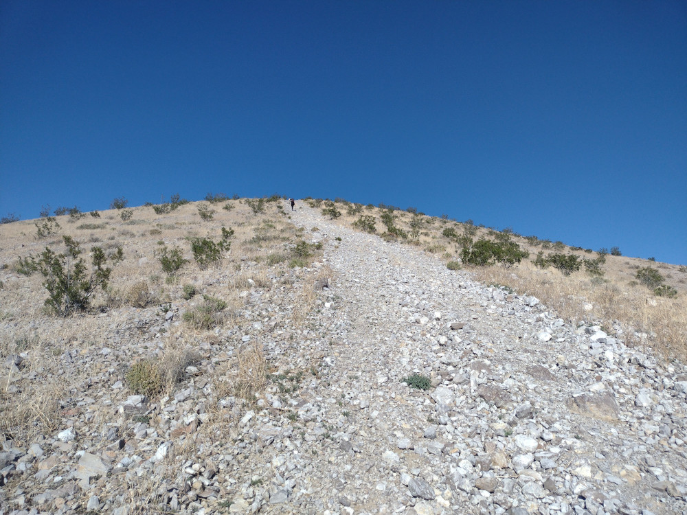
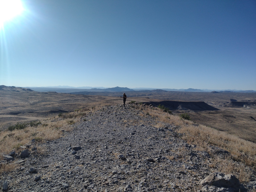
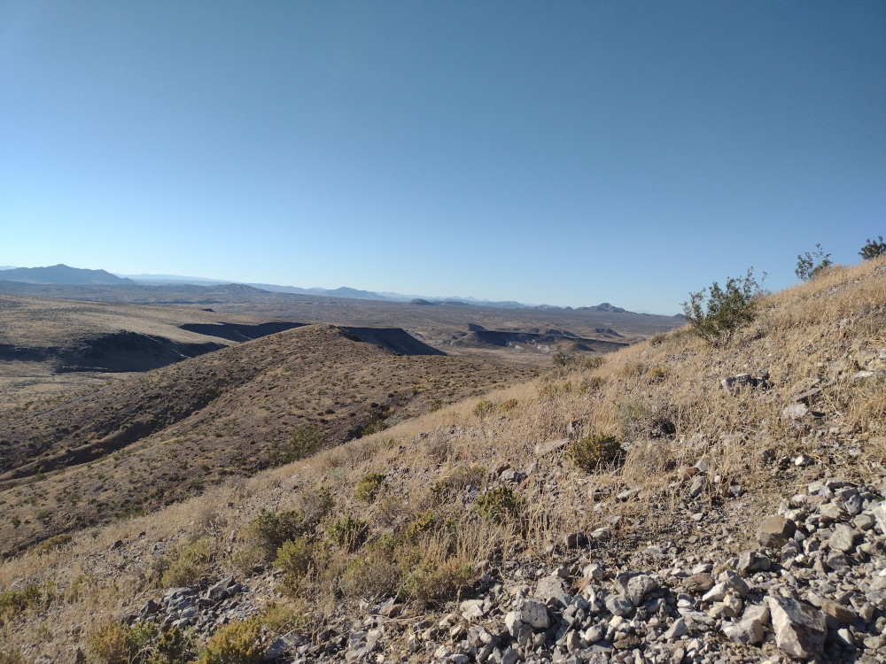
No time was wasted after arriving at the trailhead so we quickly started hiking down 5N04 to a fire break that runs up to Bare Mountain. This is on the left side of the forest road by a water culvert. See the attached .gpx for more details. The hike is steep with several false summits. There is no tree cover or shade of any type so the name of this summit is appropriate. For me, hiking this in the summer would be uncomfortable. At the top, I worked 40m, 30m, and 2m, with 4 S2S QSOs. The return trip was the same as the accent. I don’t know why it took me so long to visit this mountain; I really enjoyed everything about it and will be back next year to activate again.
I read that 1N34 was open for deer hunting season which means there is access to Buck Point. I started out by driving out from Los Angeles to the 15, getting off on Sierra Avenue, then continuing straight until Lytle Creek road. From here, there is a forest gate on the left which might be open. When we got there, it looked closed from the road, but upon further inspection, it was unlocked and slightly ajar – so perhaps wind blew it closed, or a hunter closed it to keep others out? Either way, my wife pushed it open and we drove through.
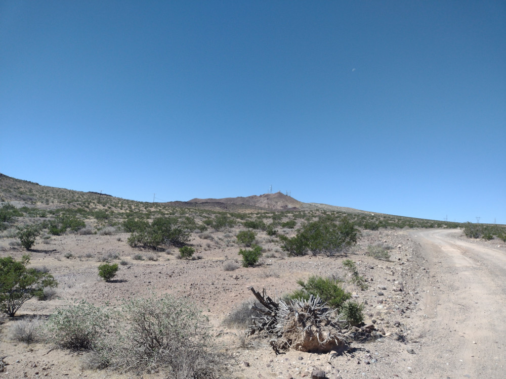
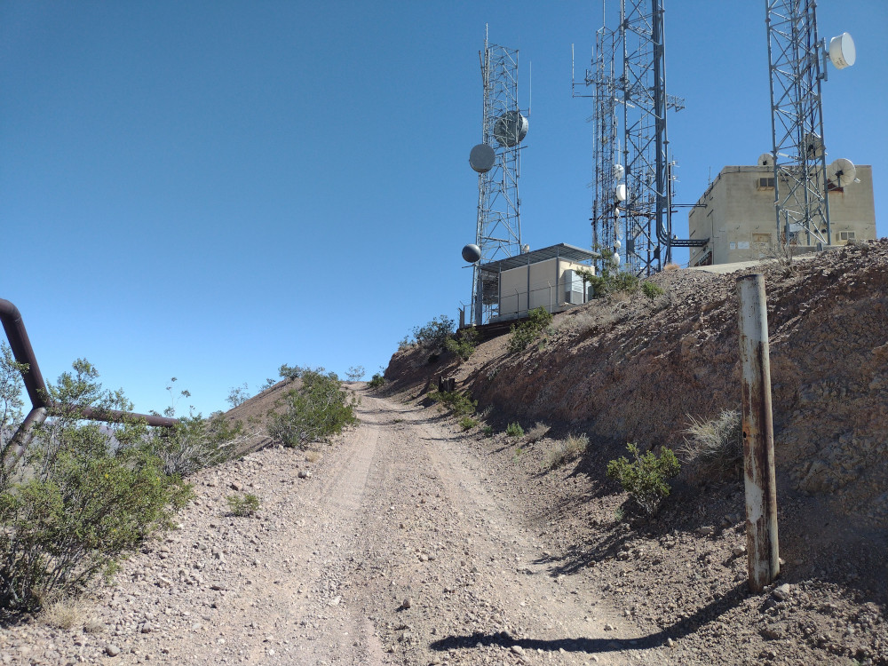
It’s a long way up a forest road, which gets narrower and rockier the further you travel. There are several switchbacks and not very many opportunities for two way traffic. About three quarters of the way there is a large commercial communications site. This is where the nice part of the forest road ends. You need to continue further down the road which is overgrown, rocky, and sorta steep. You will not make this in a 2wd car. I would be very uncomfortable in a 2wd high clearance vehicle. Your paint will get pinstriped from the woody brush.
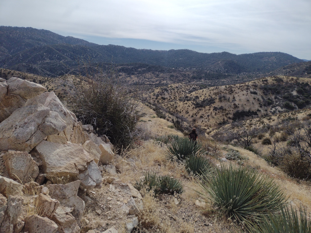
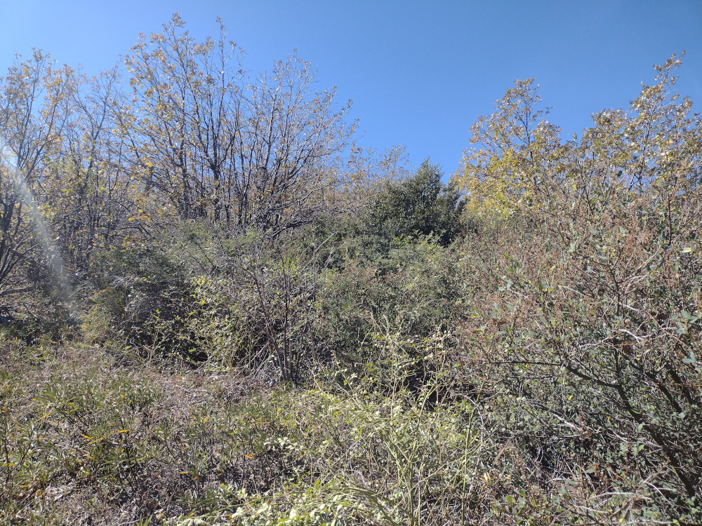
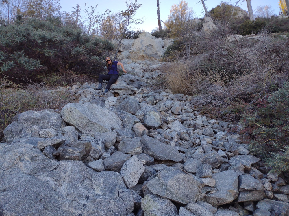
Near our target, we parked the truck in an small clearing where the topo map lines of the summit seemed gentle, slathered on some sunscreen and attempted to find any kind of trail that would lead us to the top. I had read this was overgrown, so I brought some garden clippers to help maintain the trail. This effort was abandoned after 30 minutes of fighting through dense vegetation and making no gain in elevation. We turned around and went back to the truck to come up with another plan.
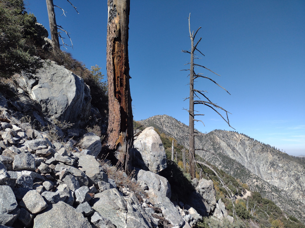
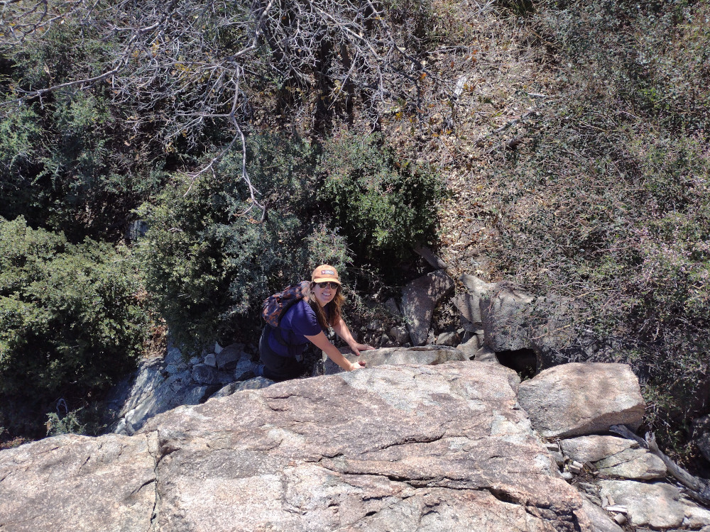
Leaving the truck we continued down the forest road on foot to a gps location AJ6KZ said was the trailhead in his write up about Buck Point. (34.21503, -117.53971). From the road, there was no obvious trail or carins in sight, but I shimmied myself up the steep embankment and scrambled up a field of loose rocks anyways. Kel followed. From here I saw a carin, then two, then areas where there was an obvious trail, which was very overgrown to the point it wasn’t visible in some places. We moved slowly, using garden clippers to open the trail back up for others after us.
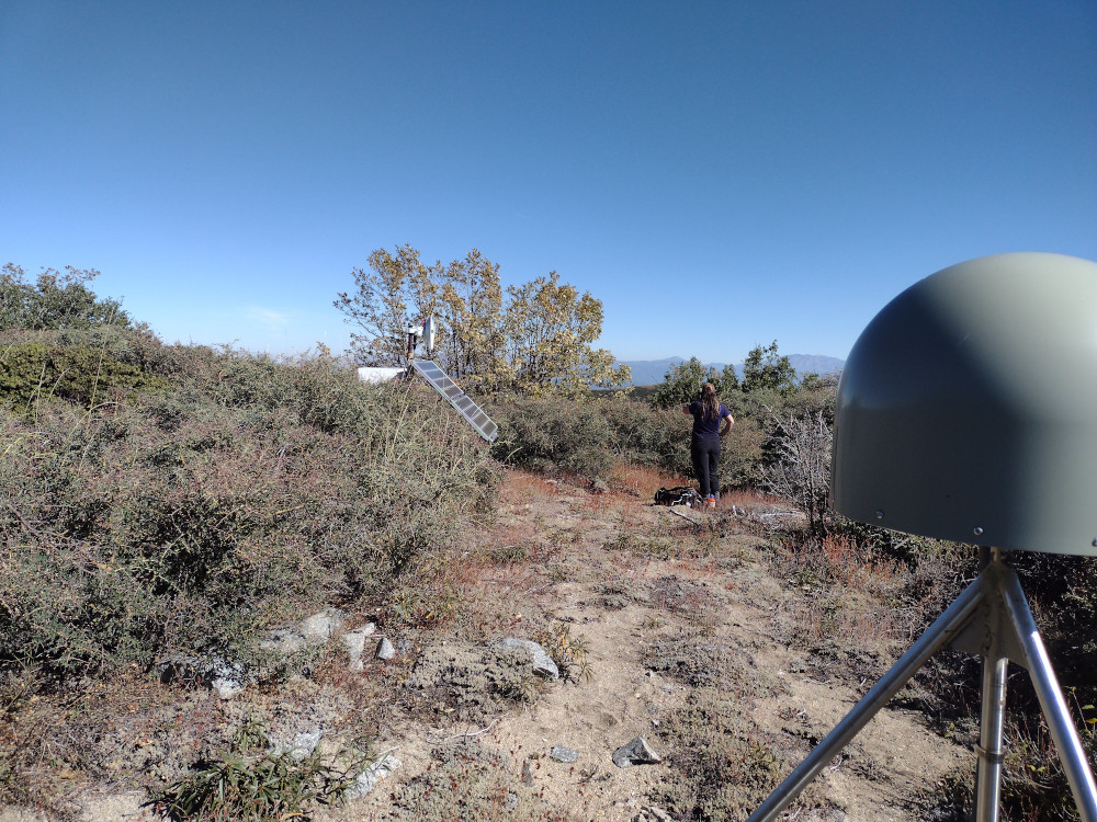
Finally making it to the top, there is a seismic monitoring station, powered by a small solar array with a microwave data back-haul. There wasn’t enough room at the top to stretch out 40M worth or antenna, so I only worked 30m, 20m CW, 2m FM for the locals. After exhausting the chasers we headed back down which took no time at all. The sketchiest bit was the last 10 feet or to get back to the forest road.
Walking back to the truck I talked with Kel about how I wish I had worn long pants, as I was badly scraped and bleeding from all the thorny plants up there. Later that night I started getting blisters on my legs which erupted in yellow goo the following days – so in addition to the thorny plants guarding the summit, I also got into something poisonous even though I didn’t notice any poodle dog bush. Maybe it was something else? Either way, the effort was totally worth it, however, I don’t see myself making this trip again.
GateThe forest roadMore forest roadThis is where we attempted to start the accent – no way through.This is close to the road – note the steepness. I think that’s Cucamonga Peak – W6/CT-006 in the background. I believe you can take the forest road – 1N34 – to a trailhead which should take you up there as an alternative to Ice house Canyon.Kel scramblingThe top. Not much here.Scrambling down.
This was our second summit of the day, having just come from Mesa Benchmark. While most of the trails in the area are in pretty good shape, driving the trail to the bottom of this summit was pretty rough in some places. I was happy to have 4L in two spots, although, I sure you could just “send it” and it would have been fine. I’m assuming there is a better way than the path I took.
The hike starts out pretty steep, tapering off to a flat ridge before one last final climb to the top. It’s around 1/2 mile one way, but a tad over 500′ of elevation gain. I setup my broken antenna which only works on 20M and started calling CQ. Made several S2S contacts to Washington State and Colorado which is always a treat.
After exhausting the chasers and packing up everything, we headed down the hill the way we came, then headed back to our camp.
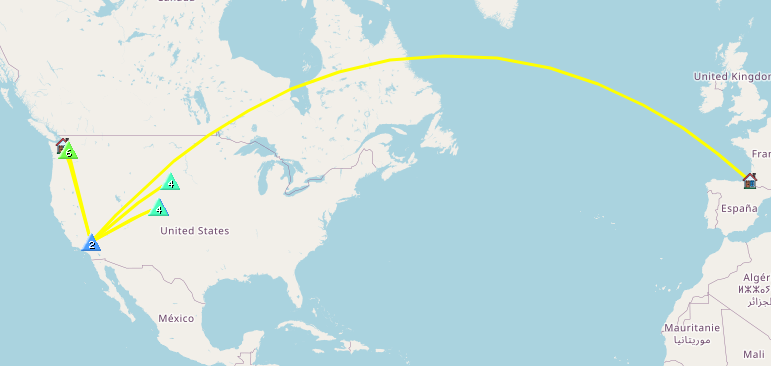
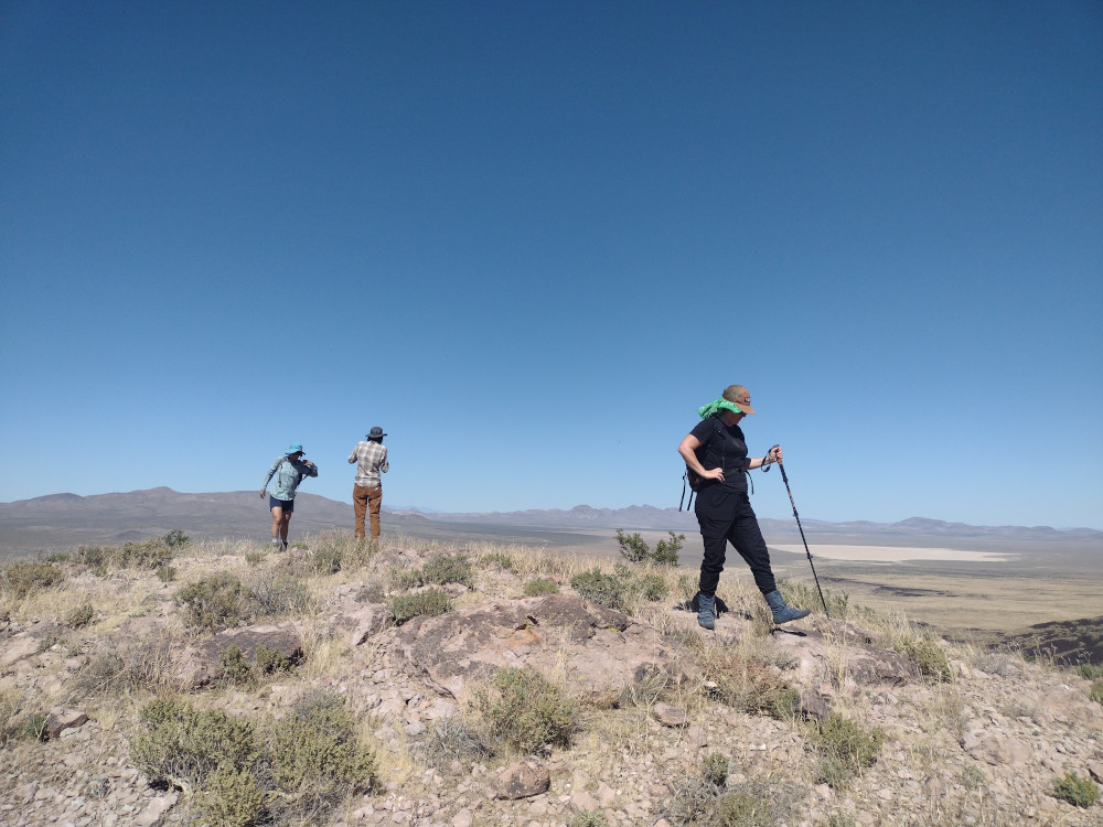
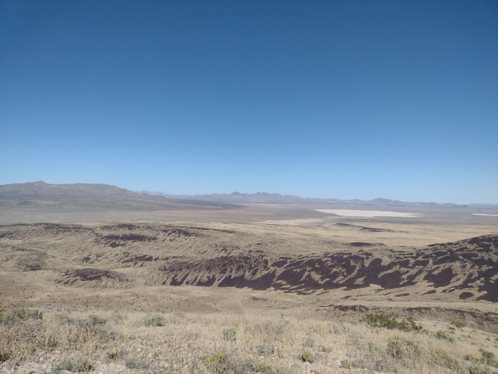
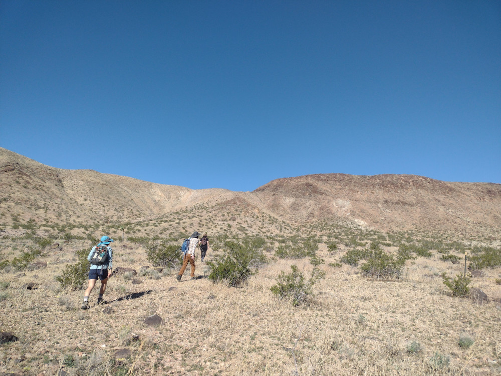
Kel, E.Bun, R. and I woke up in the morning on the dry lake bed. Hoping to beat some of the desert heat, we quickly ate a light breakfast and headed over to Mesa Benchmark. Distance is deceiving – We could easily see this one from where we were camped, however it took about 45 minutes to actually get there over the rough desert terrain.
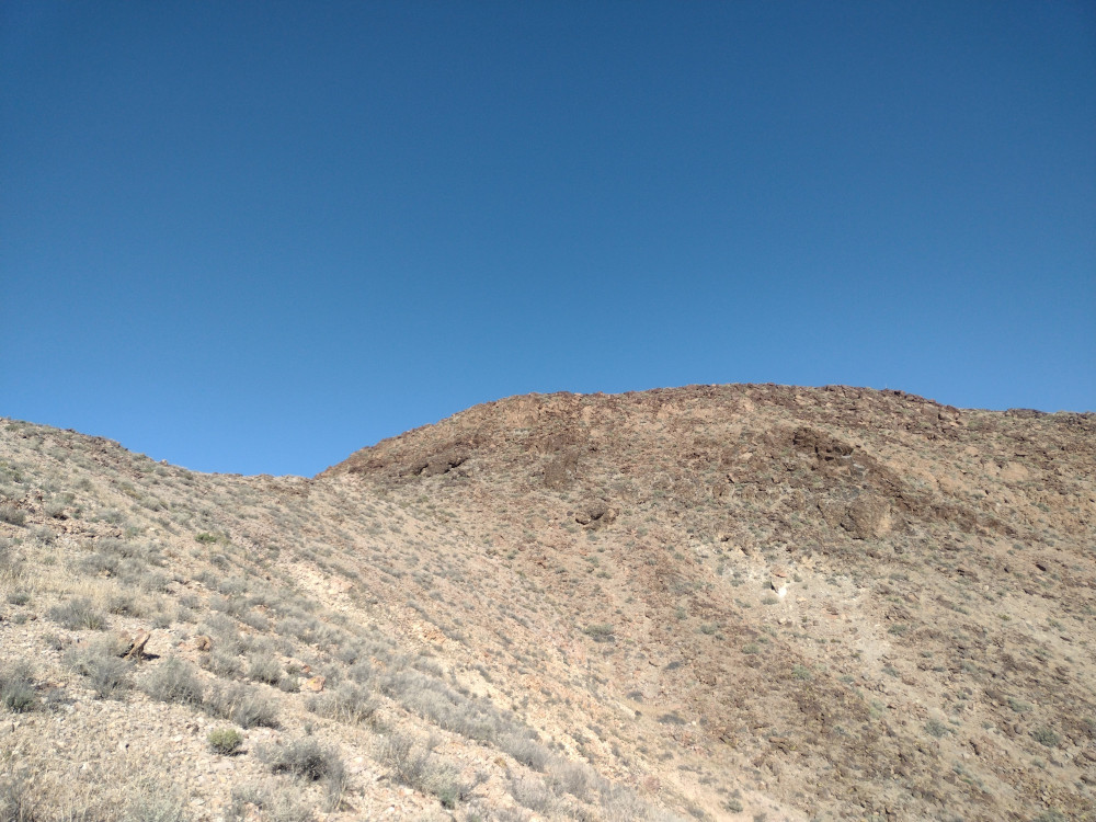
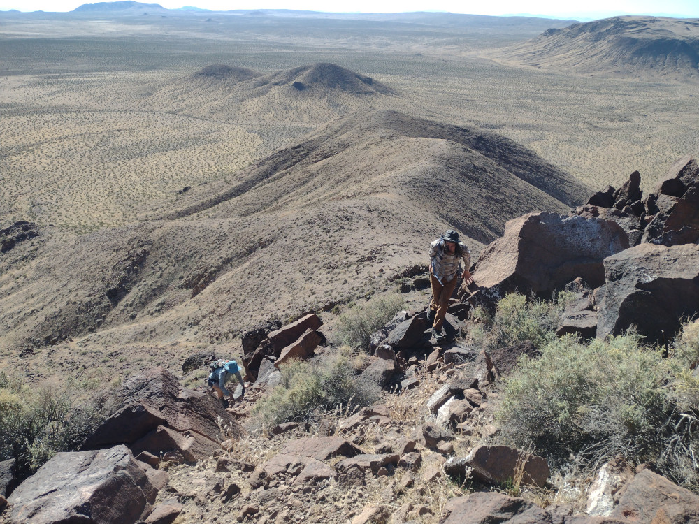
I parked the truck in an area which had been used for shooting, close to the gentlest contours on a topo map and started heading up. There is no trail I could find. After about 20 minutes or so, there is a class 3 section which will take some care to navigate. Once past this section, it’s mostly flat, like a …..mesa!
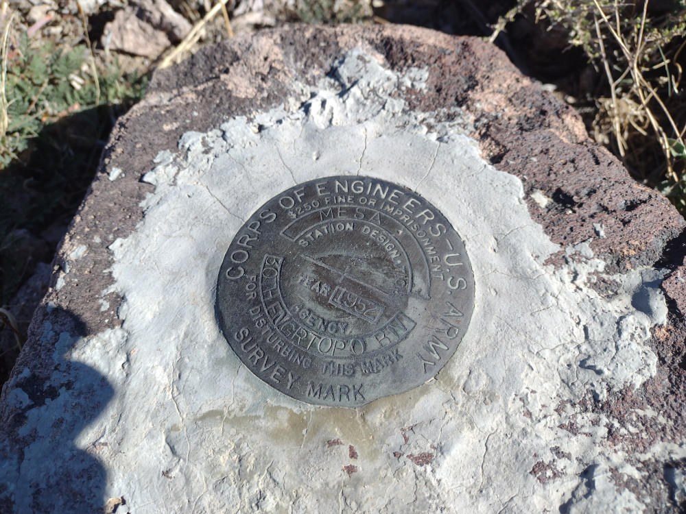
At the top, we signed the register. I setup my EFHW driven by a Mountain Topper radio. I was getting extremely high SWR on 40, and 30 meters, so I was limited to 20M. Turns out my antenna was broken somewhere. Made one QSO with Buck down at the camp on 2M FM.
We decided to take a different roue on the way down. This involved a sketchy class 3 hike down to the desert floor, with a lot of potential for someone to get hurt. Thankfully, we all made it down without injury. Overall, this was a perfect morning hike! If you use my .gpx track, don’t go down the way we did!
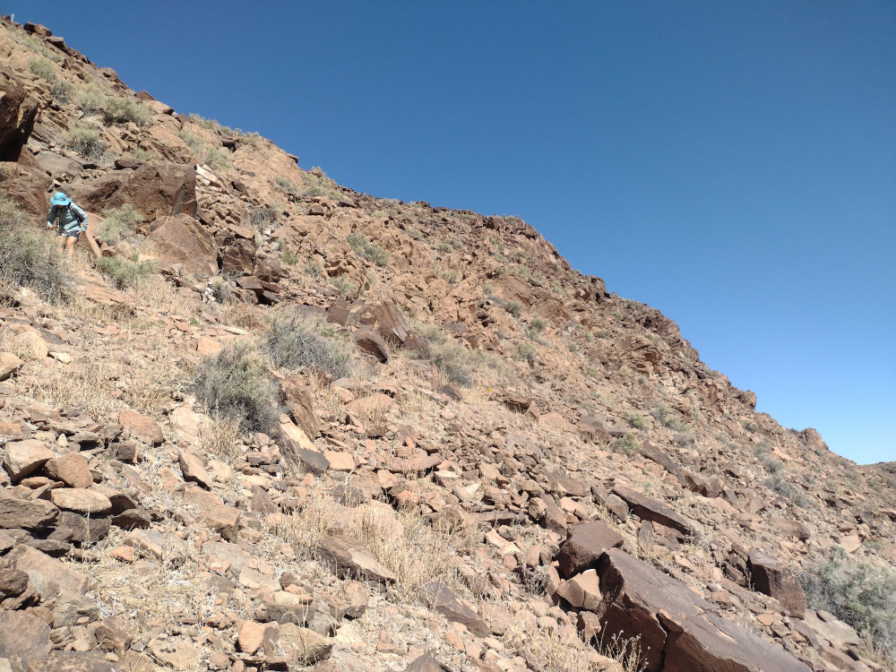
This was the second summit of the day, having just come from a short activation of Waterman Hills. By surprise, my wife and I ran into our pal Buck on the corner of Copper Canyon Road and Irwin Road. He had come up from San Diego to camp with us, however I didn’t expect him to arrive to early. That being said, I invited him to hike up to Opal Mountain with us. On the way to the trailhead we stopped in various locations to look at petroglyphs, Indian circles, and possible places to camp in the future. A bit over an hour through the desert trails, we got to the start. The hike up is pretty steep and rocky, but short. I didn’t find a summit register or a benchmark. Worked 20M CW and headed down pretty quickly. Back at the truck we drank some beers and headed over to a dry lake where we were meeting other friends to camp.
Buck putting on socks, Opal in the background.Kel is way ahead of Buck and myselfViews at the topAn attempt to capture the grade of the hill with the camera
This is a easy summit to access, but hard to operate as there is tons of RF noise. In addition, there isn’t much room on the actual summit to stretch out a wire. This limited me to 20M, my shortest antenna. The noise was so high that after I got 4 contacts I signed QRT and headed to another summit in the area.
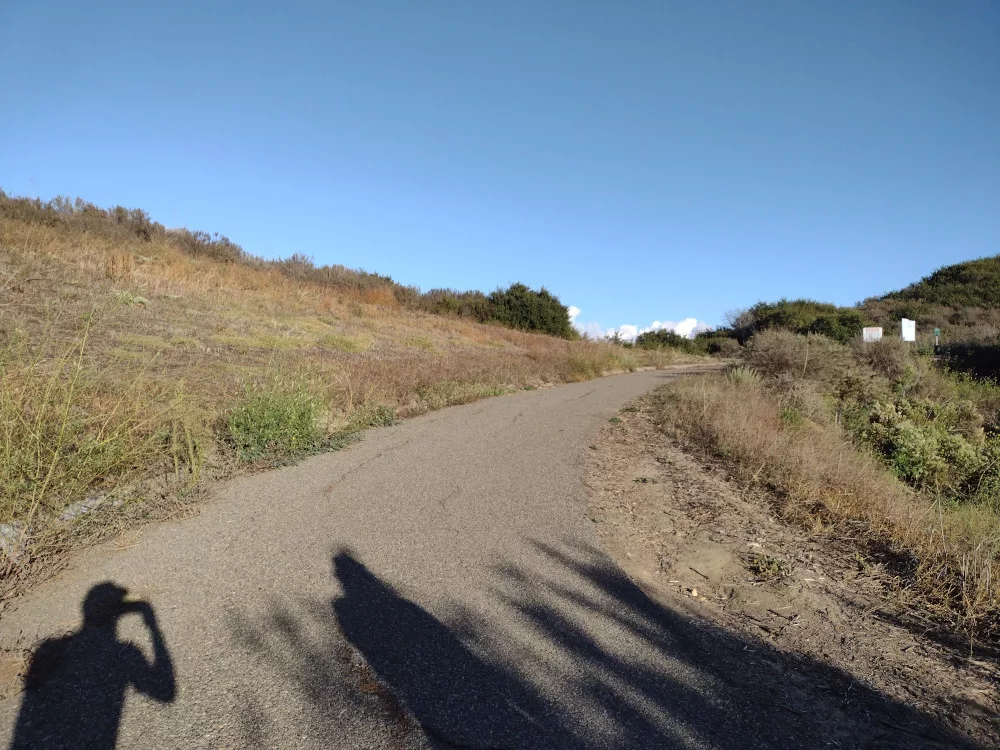
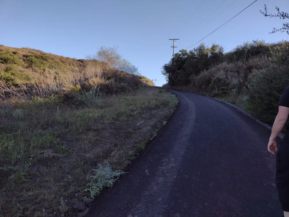
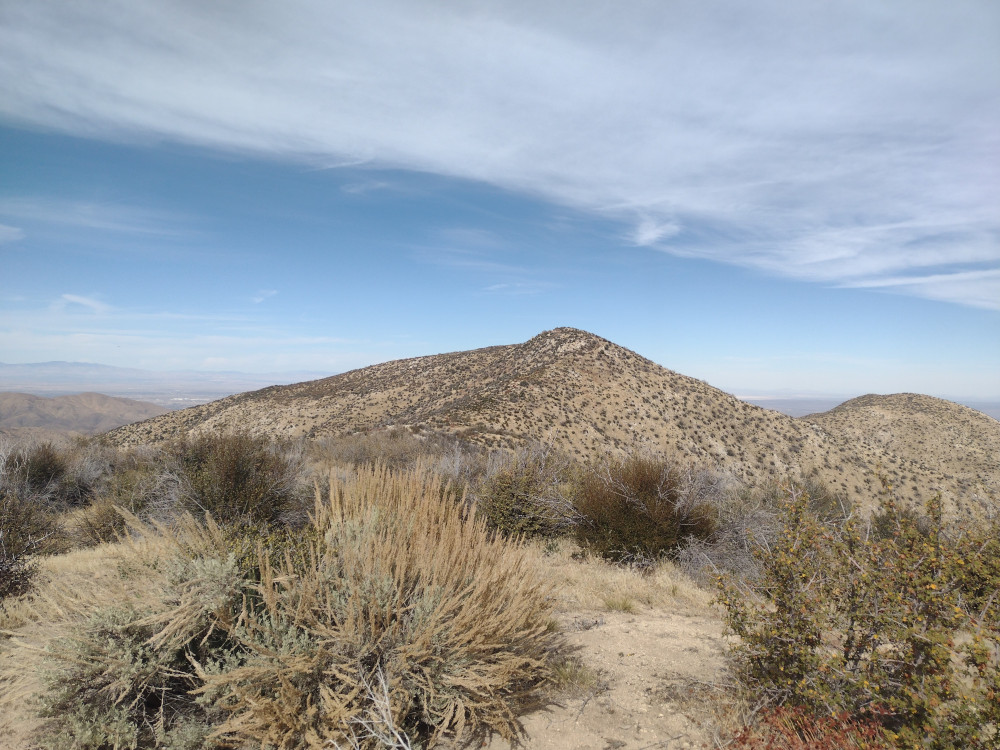
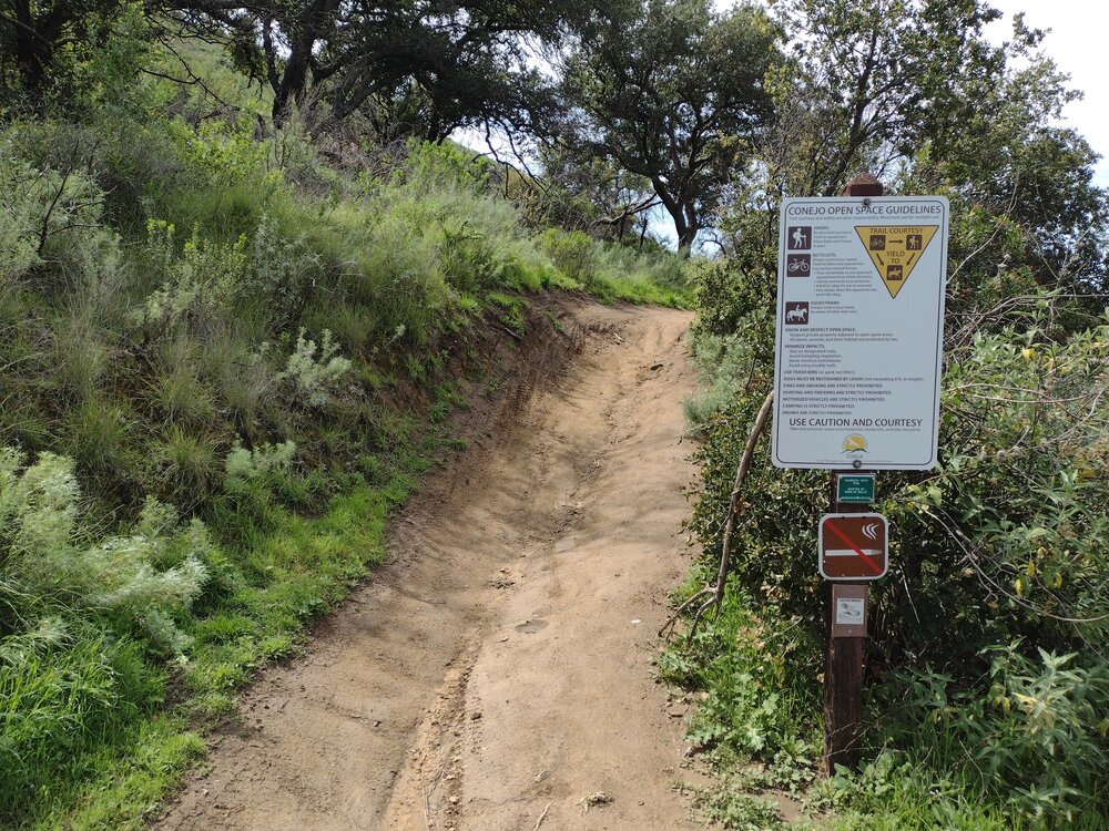
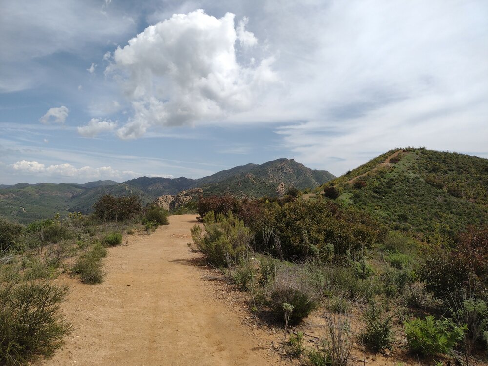
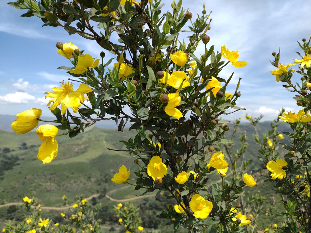
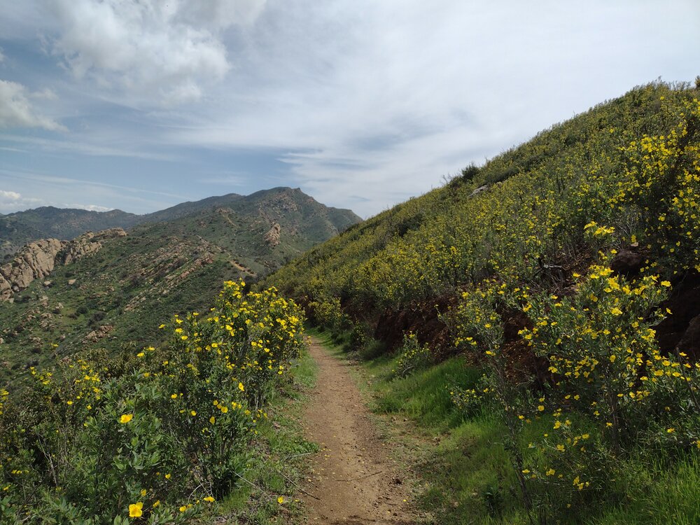
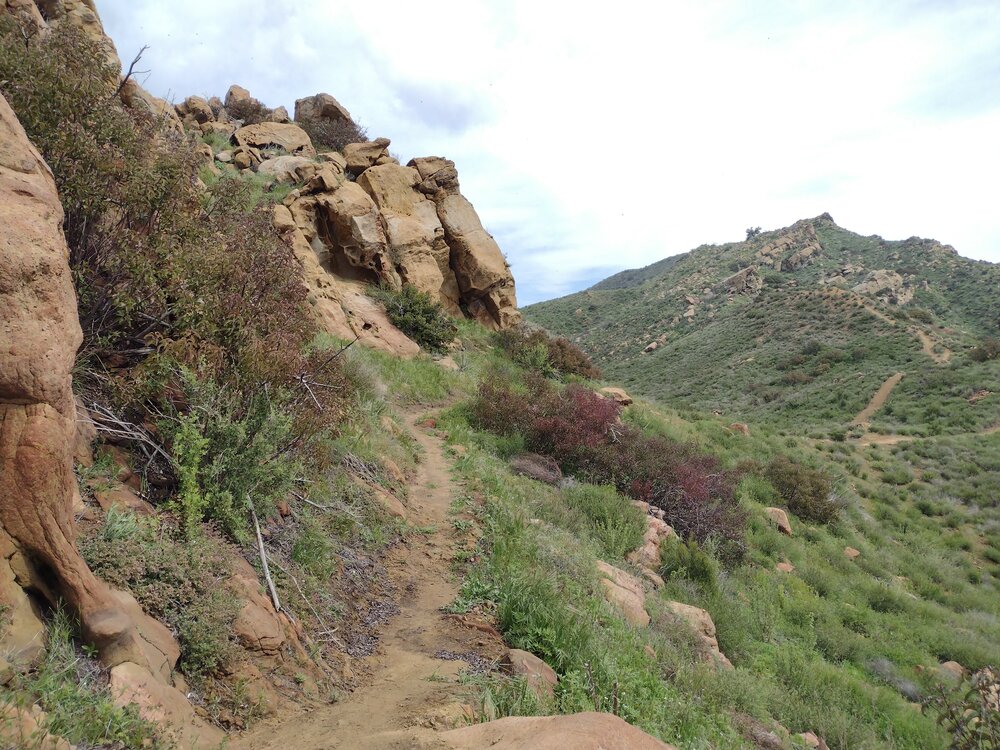
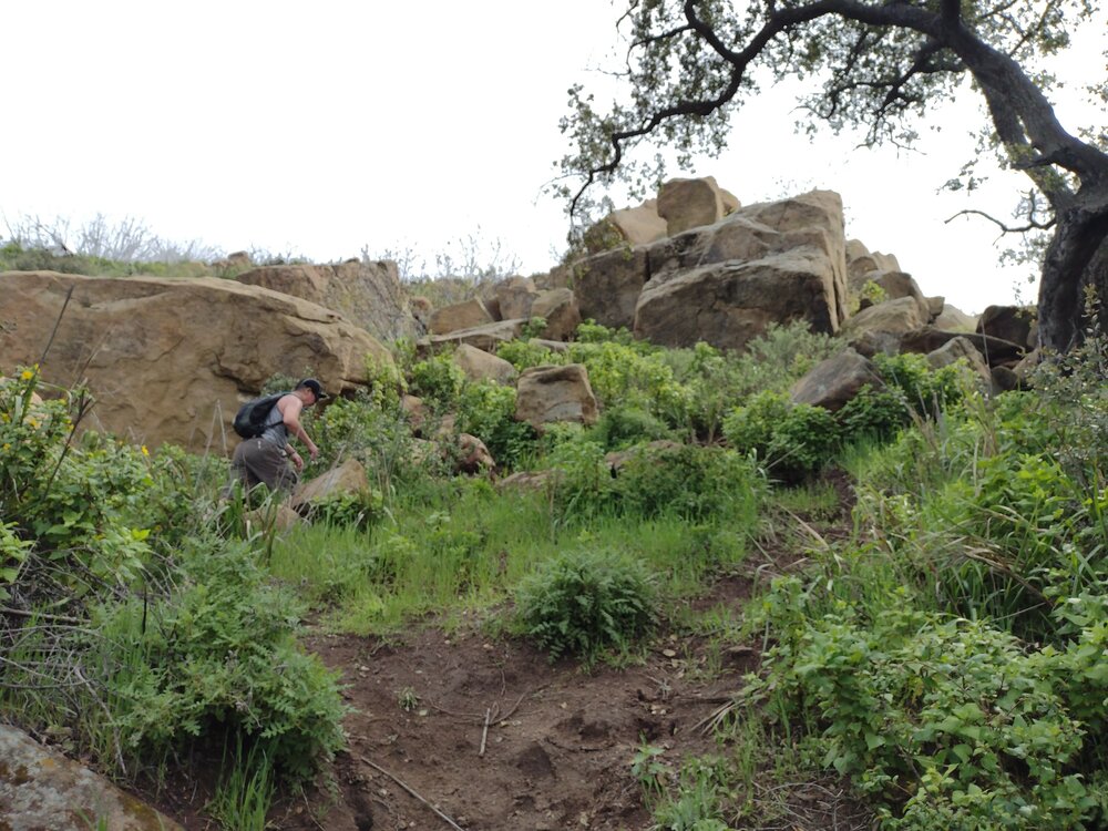
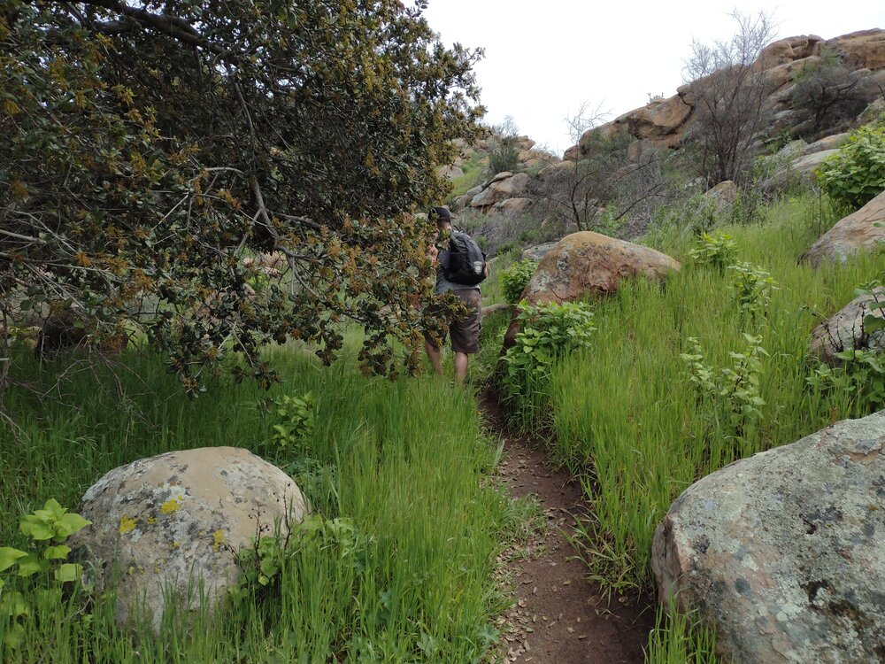
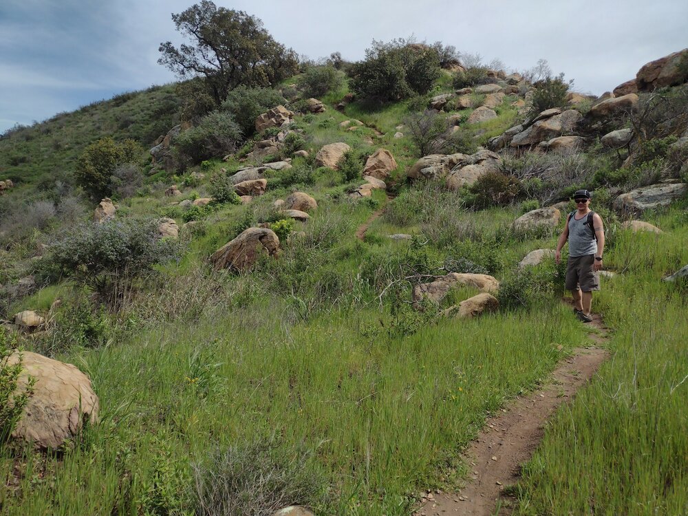
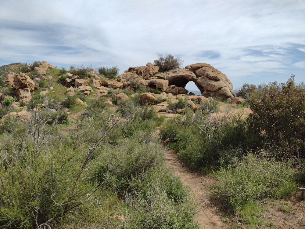
It was a wet winter and all the plants were very happy. While this summit is only worth 1 SOTA point, it’s totally worth hiking for the views alone. I hiked this with Jeff C. on a Friday to avoid weekend crowds. We ended up doing the “secret passage” route by following the tracks posted by N6ARA. Worked 20, 30, 40M CW at the summit. This is a beautiful hike and I hope to visit this place again in the future.