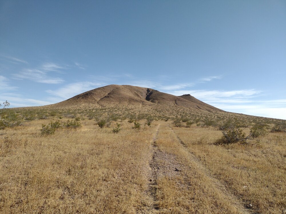
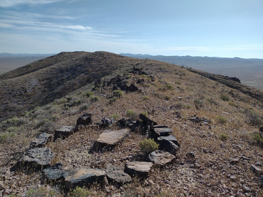
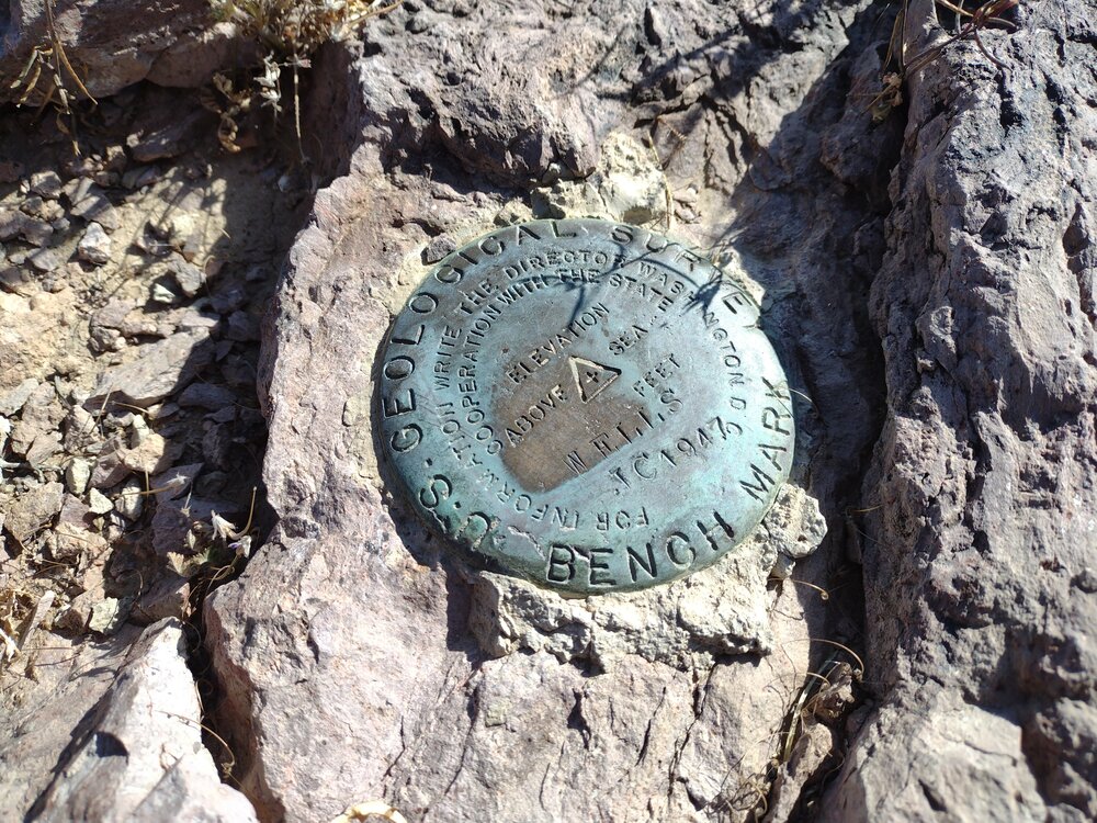
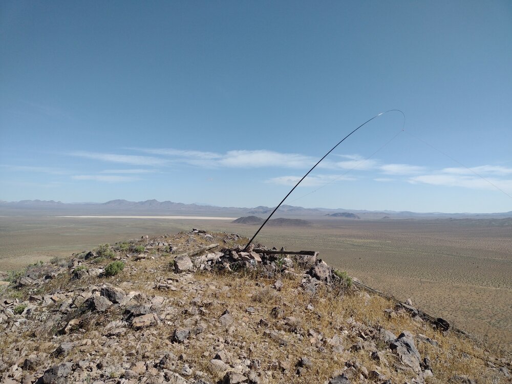
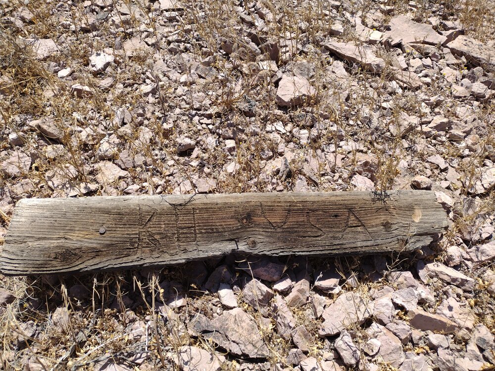
A few times a year I camp with a group on a dry lakebed near the edge of Fort Irwin, and while I was aware of opportunities for SOTA in the area, I never activated – until Wells Benchmark. This summit is easy to find, located right off Copper City Road In addition, the hike up was easy, only taking 20 minutes or so. What made this activation difficult for me was the wind, which was extremely strong and relentless. I was able to get my antenna up and thankfully nothing got destroyed. Worked 40, 30, and 20M but didn’t make a ton of QSOs. I hiked down basically the same way. Back at the truck, I had a light breakfast and made my way over to an unactivated summit which turned out to be just on the other side of the Fort Irwin boundary fence, thus, no access.
https://sotl.as/summits/W6/ND-289
Max elevation: 3913 ft
Total climbing: 1052 ft
Total time: 02:11:59
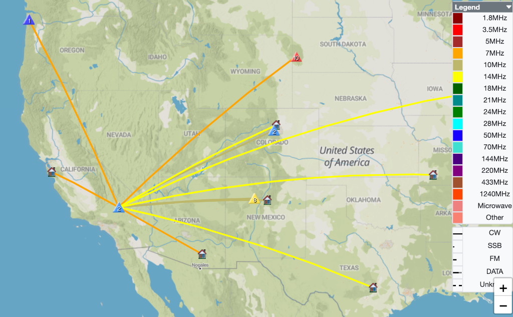
Date:06/05/2023 | Summit:W6/ND-289 (Wells Benchmark)
| Time | Callsign | Band | Mode | Notes |
|---|---|---|---|---|
| 16:03 | WB6POT | 7MHz | CW | S599 R599 |
| 16:05 | KT0A | 7MHz | CW | S33N R33N S2S W0D/BB-029 |
| 16:07 | K7EFW | 7MHz | CW | S33N R55N S2S W7O/NC-056 |
| 16:08 | KR7RK | 7MHz | CW | S56N R53N |
| 16:10 | KN60MN | 7MHz | CW | S57N R53N |
| 16:23 | KT5X | 10MHz | CW | S57N R57N |
| 16:25 | K5DEZ | 10MHz | CW | S33N R53N S2S W5N/SE-029 |
| 16:29 | KX0R | 10MHz | CW | S35N R55N S2S W0C/PR-148 |
| 16:42 | AK5SD | 14MHz | CW | S52N R51N |
| 16:46 | K0LAF | 14MHz | CW | S32N R32N |
| 16:47 | KF9D | 14MHz | CW | S33N R33 |
| 16:49 | N0DET | 14MHz | CW | S44N R44N |