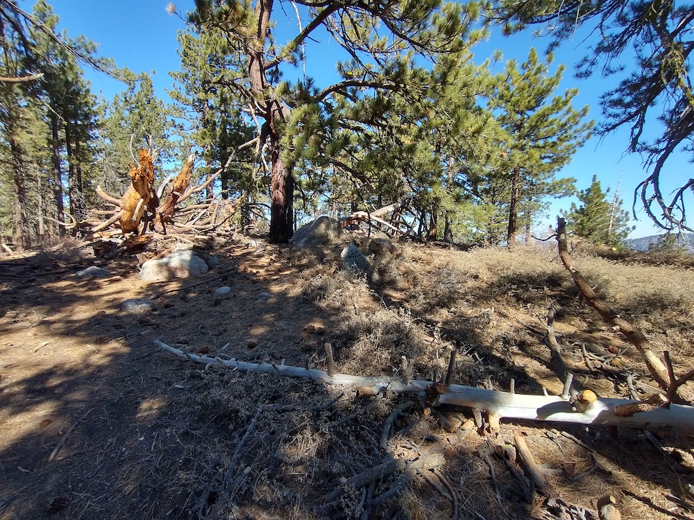
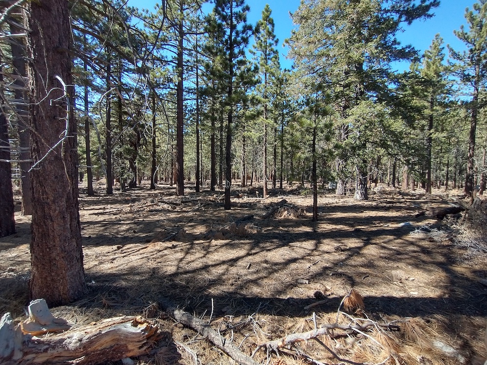
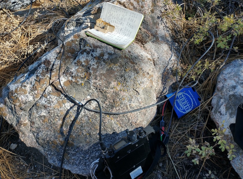
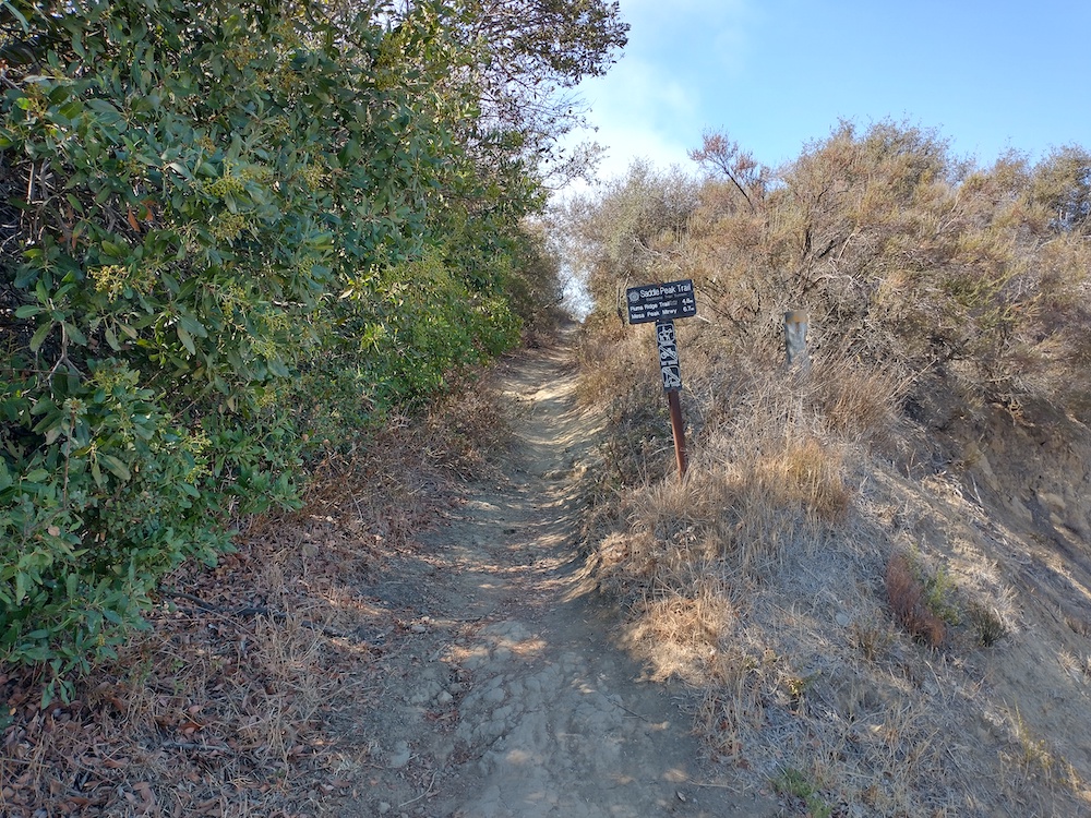
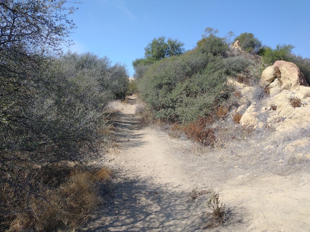
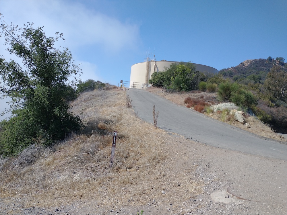
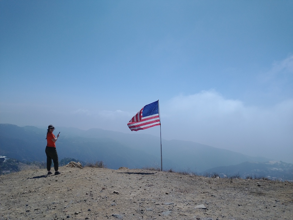
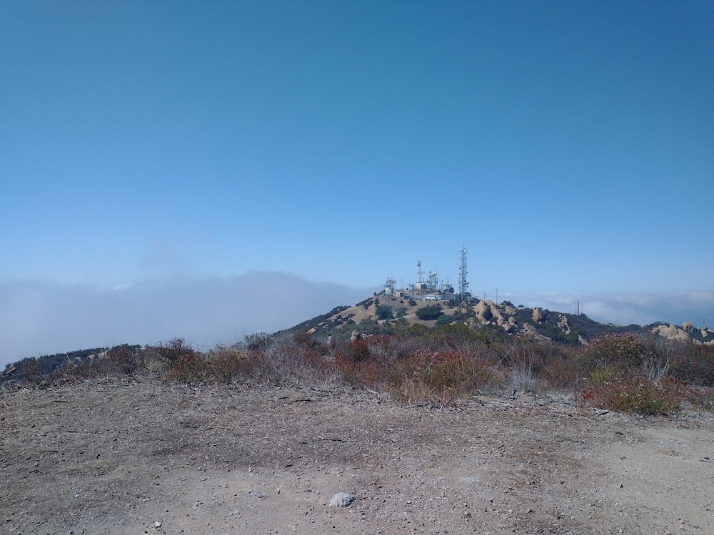
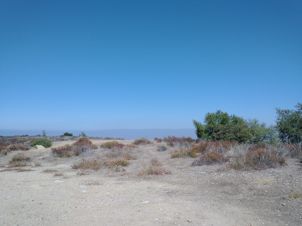
Cerro Noroeste is a super accessible summit and campground near Pine Mountain Club/ Frazier Mountain. At the entrance there you will find an iron ranger asking for a $10 day use fee. I parked down the road and displayed my forest service pass on my rear view mirror and hiked 5 minutes to the summit instead of taking a camping spot. Lots of trees available to string up an antenna. Worked 20m, 30m, 40m, cw, 2m s2s with K6STR and W6LOR on San Emigdio Mountain, just one peak over!
https://sotl.as/summits/W6/SC-001
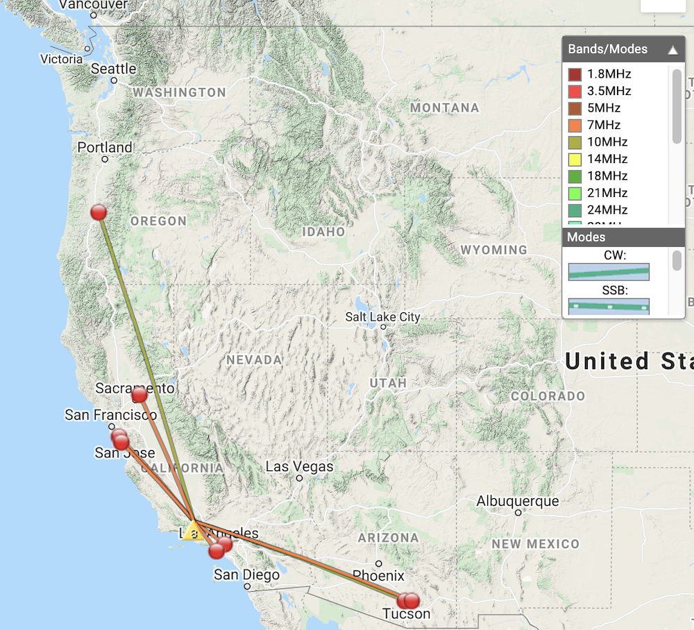
Date:10/10/2021 | Summit:W6/SC-001 (Cerro Noroeste)
| Time | Callsign | Band | Mode | Notes |
|---|---|---|---|---|
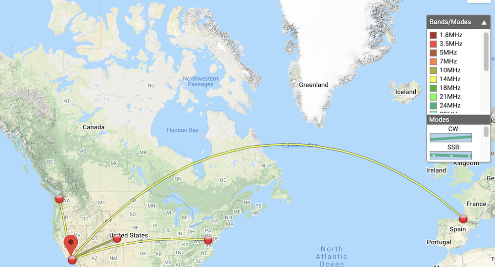
| 21:23 | K7DDC | 14MHz | CW | S54N R22N S2S W7W/CW-017 |
| 21:34 | K6HPX | 10MHz | CW | S559 R559 |
| 21:35 | K6EA | 10MHz | CW | S599 R559 |
| 21:39 | W6TDX | 10MHz | CW | S559 R549 |
| 21:43 | W6LOR | 144MHz | FM | S59 R59 S2S W6/SC-002 |
| 21:45 | K6STR | 144MHz | FM | S59 R59 S2S W6/SC-002 |
| 21:51 | AA6XA | 7MHz | CW | S599 R55N S2S W6/NC-410 |
| 21:56 | NA6MG | 7MHz | CW | S559 R519 |
| 21:57 | WB6POT | 7MHz | CW | S599 R559 |
| 21:58 | KR7RK | 7MHz | CW | S599 R55N |
| 22:00 | K6LDQ | 7MHz | CW | S599 R529 |
| 22:01 | AI6XG | 7MHz | CW | S559 R44N |