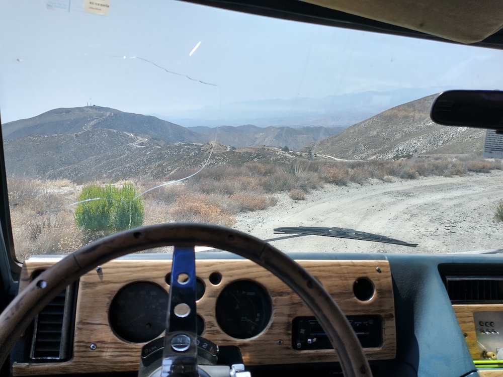
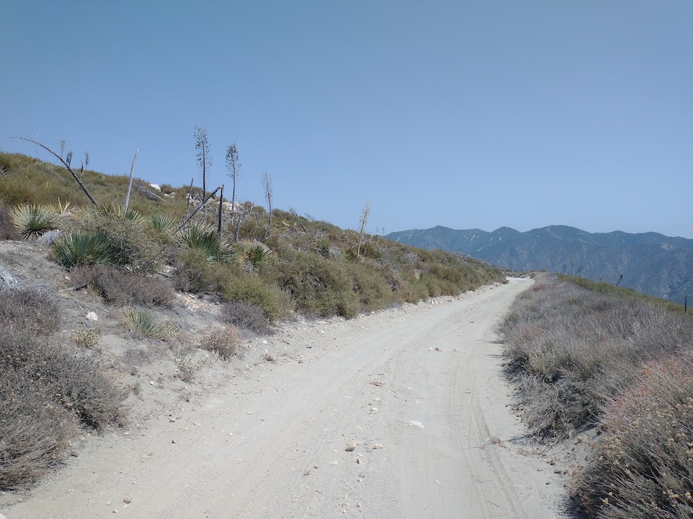
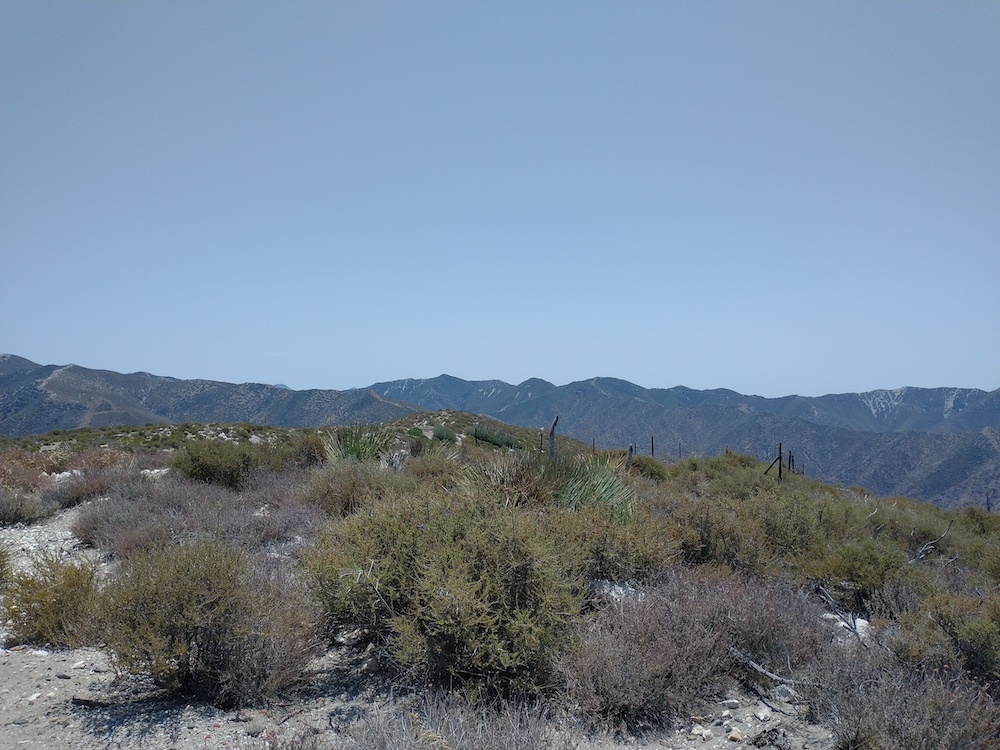
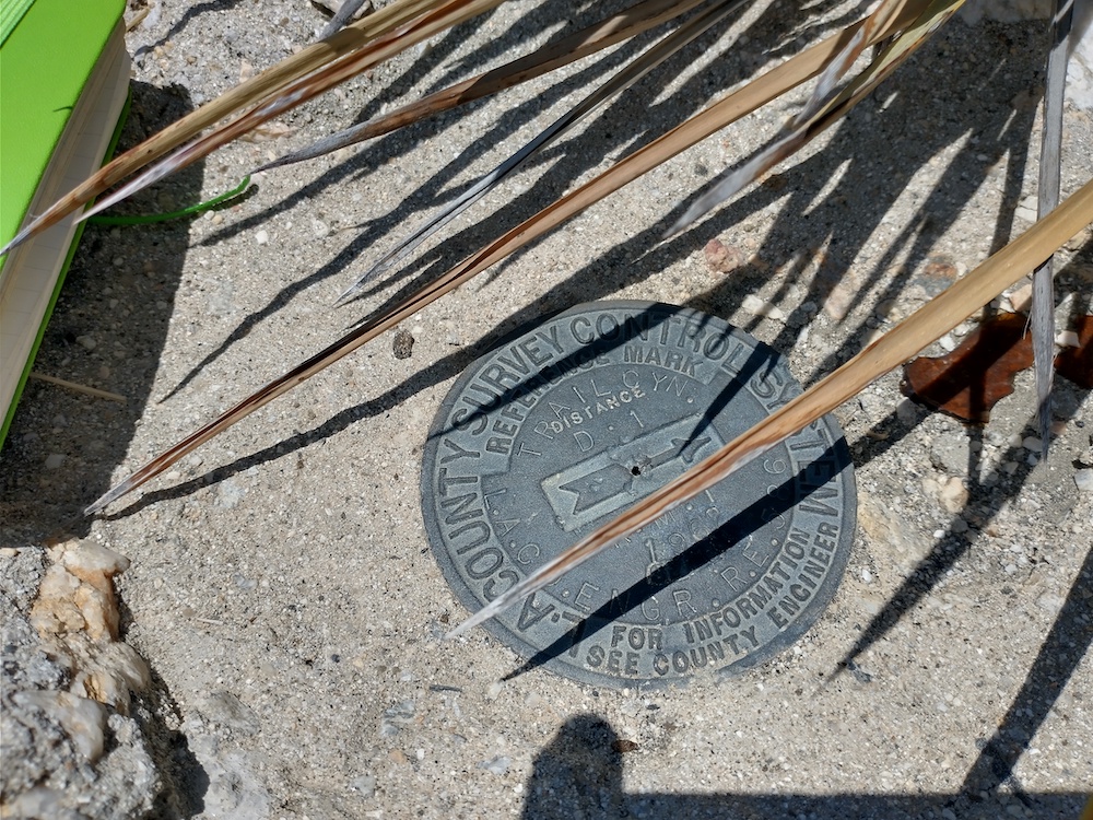
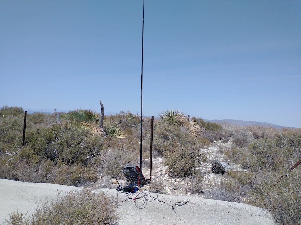
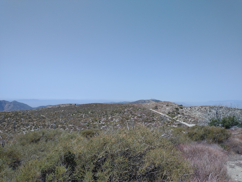
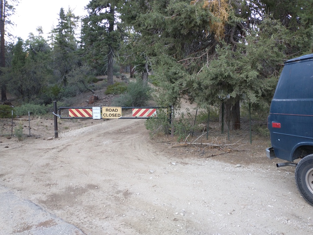
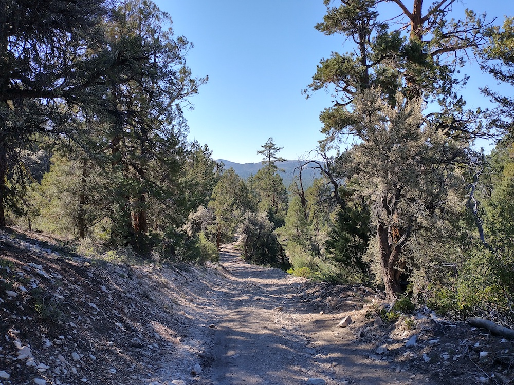
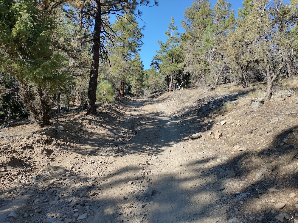
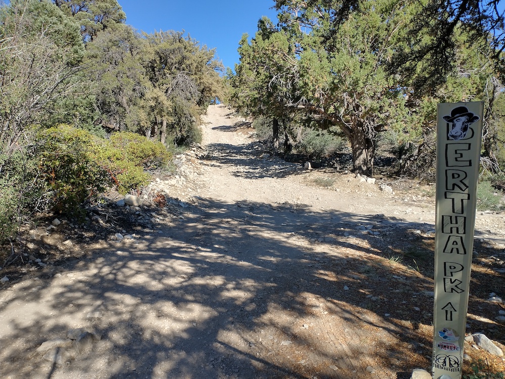
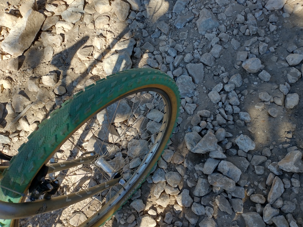
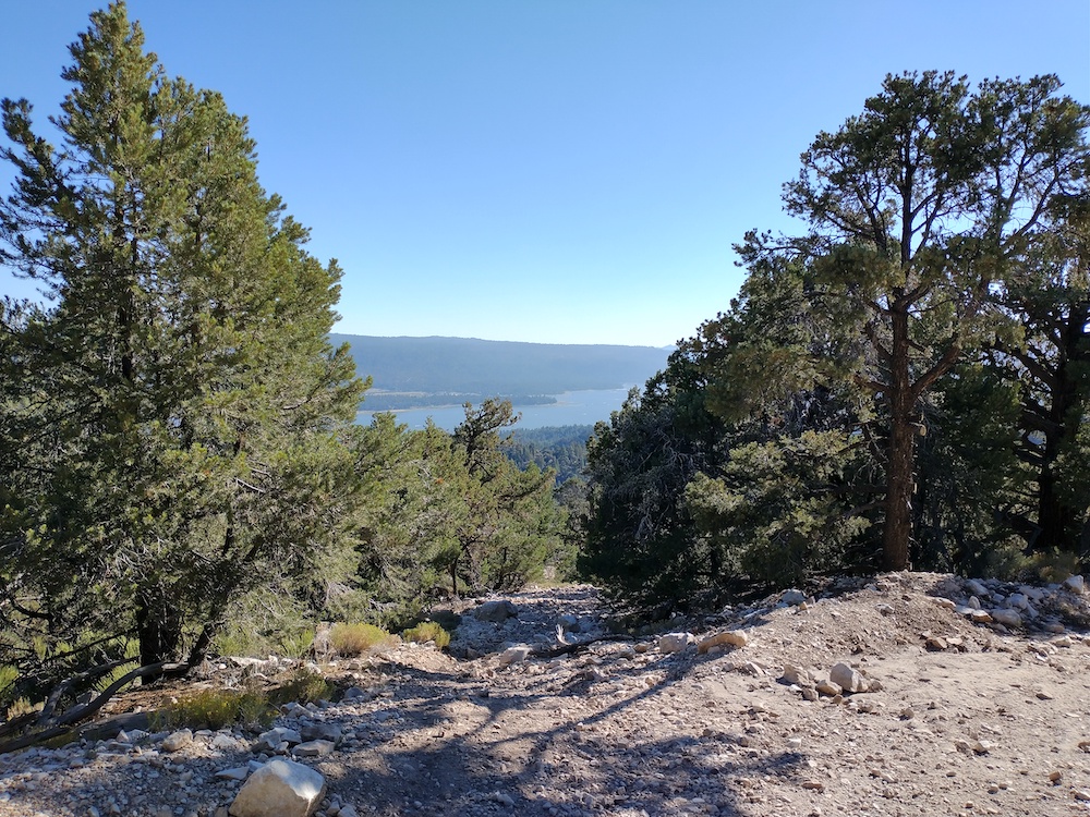
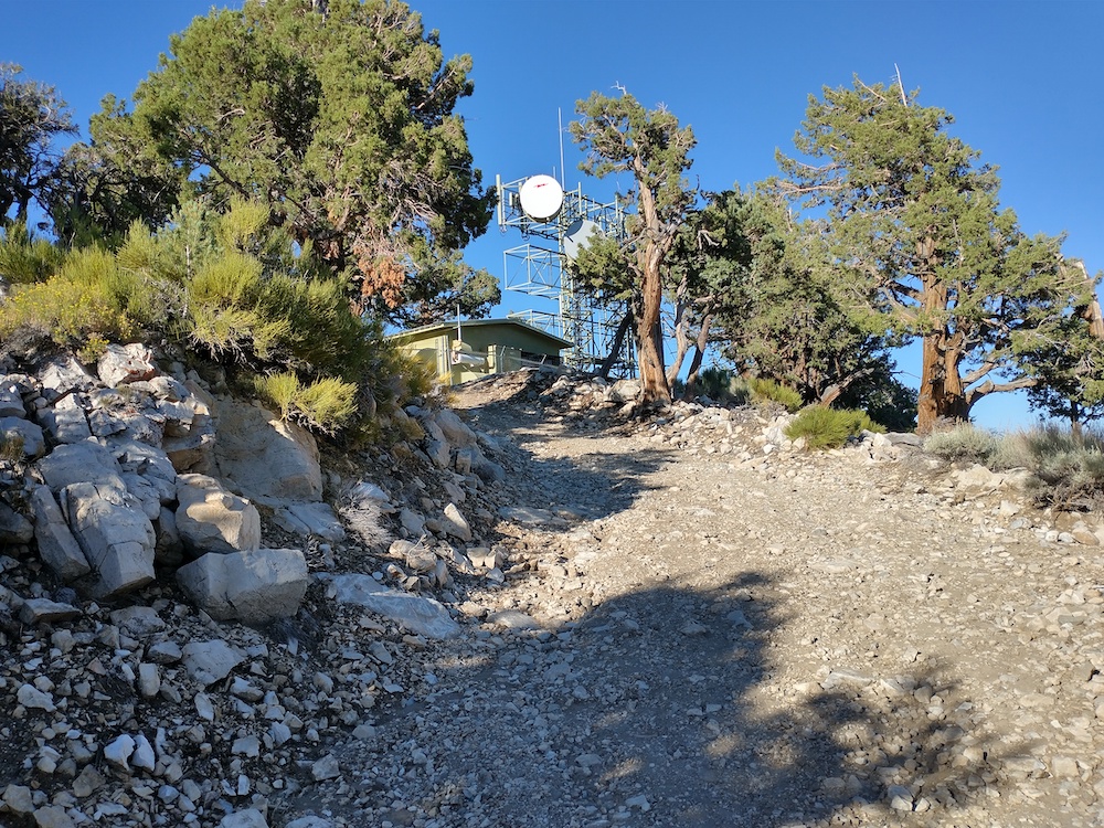
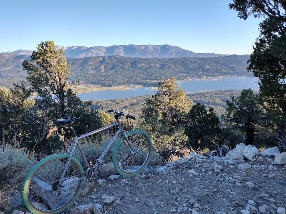
Snow Benchmark is just off 3N17, which was closed for 11 years to motorized traffic. I was planing on riding a mountain bike to this summit from Sand Canyon, but the forest service opened the road which allowed me to drive my van right below the summit. From there, it’s 1/2 mile round trip hike. Worked 2m FM, 20m SSB, and 10m CW, three s2s contacts.
https://sotl.as/summits/W6/CT-121
Total distance: 0.43 mi
Max elevation: 4954 ft
Total climbing: 104 ft
Total time: 02:06:58
Download file: SnowBenchmark.GPX
Max elevation: 4954 ft
Total climbing: 104 ft
Total time: 02:06:58
Date:16/07/2021 | Summit:W6/CT-121 (Snow Benchmark)
| Time | Callsign | Band | Mode | Notes |
|---|---|---|---|---|
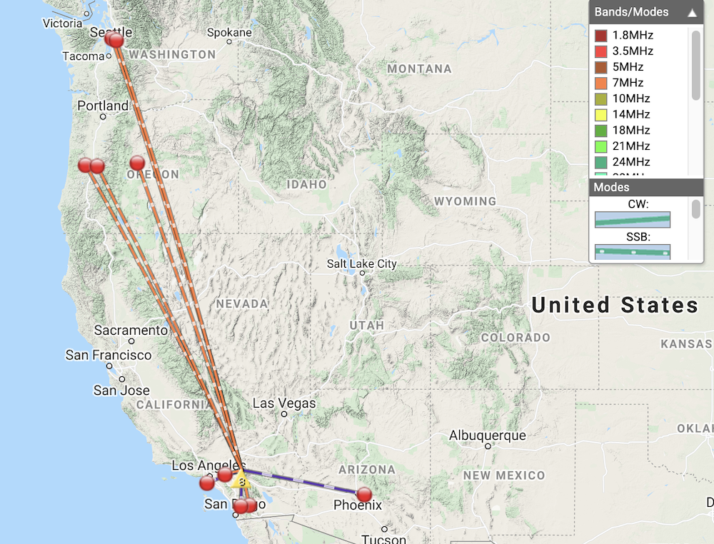
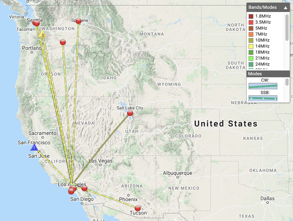
| 19:44 | AE6NH | 144MHz | FM | S59 R59 S2S W6/CT-098 |
| 19:44 | N6HEG | 144MHz | FM | S59 R59 |
| 19:50 | KI6PMD | 144MHz | FM | S59 R46 |
| 19:53 | KN6PHZ | 144MHz | FM | S59 R59 |
| 19:55 | KN6DMO | 144MHz | FM | S42 R43 |
| 20:02 | KG6MWQ | 144MHz | FM | S59 R59 S2S W6/CT-098 |
| 20:16 | K6LDQ | 144MHz | FM | S59 R59 |
| 20:25 | WU7H | 14MHz | SSB | S57 R57 |
| 20:25 | WW7D | 14MHz | SSB | S59 R53 |
| 20:27 | K6MBN | 14MHz | SSB | S54 R45 |
| 20:30 | K6EL | 14MHz | SSB | S32 R52 S2S W6/NC-423 |
| 20:31 | NN4JM | 14MHz | SSB | S53 R44 S2S W7W/RS-010 |
| 20:32 | K6HPX | 14MHz | SSB | S51 R45 |
| 20:32 | K6MW | 14MHz | SSB | S58 R55 |
| 20:34 | KG7QJD | 14MHz | SSB | S59 R57 |
| 20:35 | NG6R | 14MHz | SSB | S59 R57 |
| 21:13 | K7EA | 10MHz | CW | S5NN R55N |
| 21:17 | N7PHI | 10MHz | CW | S559 R339 |